Transport Functions
Multimodal
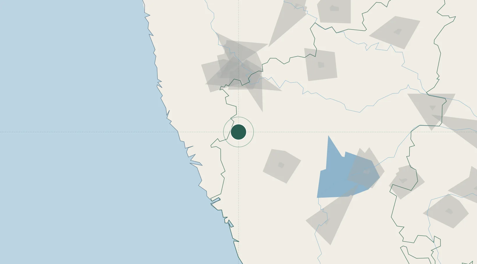
Hub Profile
Region
KA
Location
Nearby Logistics Neighbours
Cities
- 1Kagal82 km
- 2Verna85 km
- 3Il Sez/Hubli89 km
- 4Marmagao (Marmugao)89 km
- 5Madgaon95 km
Airports
- 1Belagavi Airport13 km
- 2Manohar International Airport70 km
- 3Hubballi Airport84 km
- 4Goa Dabolim International Airport90 km
- 5Kolhapur Airport92 km
Trade Zones
DatabookThe Record of Consolidated Knowledge
India beyond logistics?