Transport Functions
Rail
Road
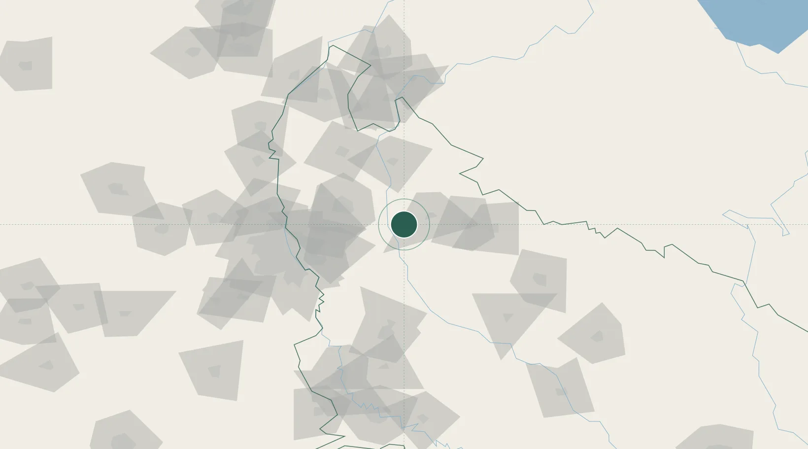
Hub Profile
Place type
Populated place
Region
Uttar Pradesh
Population
50,380
Time zone
Asia/Kolkata
Elevation
213 m
Location
Nearby Logistics Neighbours
Cities
- 1Artha Sez/Greater Noida34 km
- 2Greater Nodia34 km
- 3Moradabad56 km
- 4Modinagar Icd/Ghaziabad61 km
- 5Bilari61 km
Airports
- 1Moradabad Airport67 km
- 2Hindon Airport / Hindon Air Force Station87 km
- 3Noida International Airport96 km
- 4Safdarjung Airport105 km
- 5Aligarh Airport110 km
Trade Zones
DatabookThe Record of Consolidated Knowledge
India beyond logistics?