Transport Functions
Multimodal
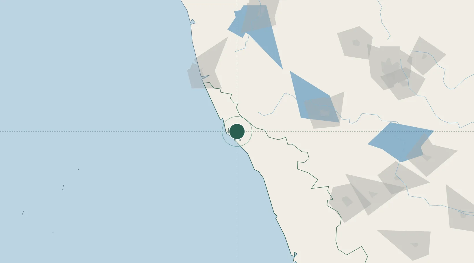
Hub Profile
Place type
Populated place
Region
Kerala
Population
72,465
Time zone
Asia/Kolkata
Elevation
45 m
Location
Nearby Logistics Neighbours
Cities
- 1Payyannur17 km
- 2Mahe44 km
- 3Siddapur63 km
- 4Kollam76 km
- 5Kozhikode (ex Calicut)100 km
Ports
- 1Azhikal (Azhikkal)12 km
- 2Calicut (Kozhikode)100 km
- 3Beypore110 km
- 4New Mangalore112 km
- 5Kochi (Cochin)251 km
Airports
- 1Kannur International Airport26 km
- 2Mangaluru International Airport113 km
- 3Calicut International Airport121 km
- 4Mysore Airport143 km
- 5Rashtrakavi Kuvempu Airport203 km
DatabookThe Record of Consolidated Knowledge
India beyond logistics?