Transport Functions
Multimodal
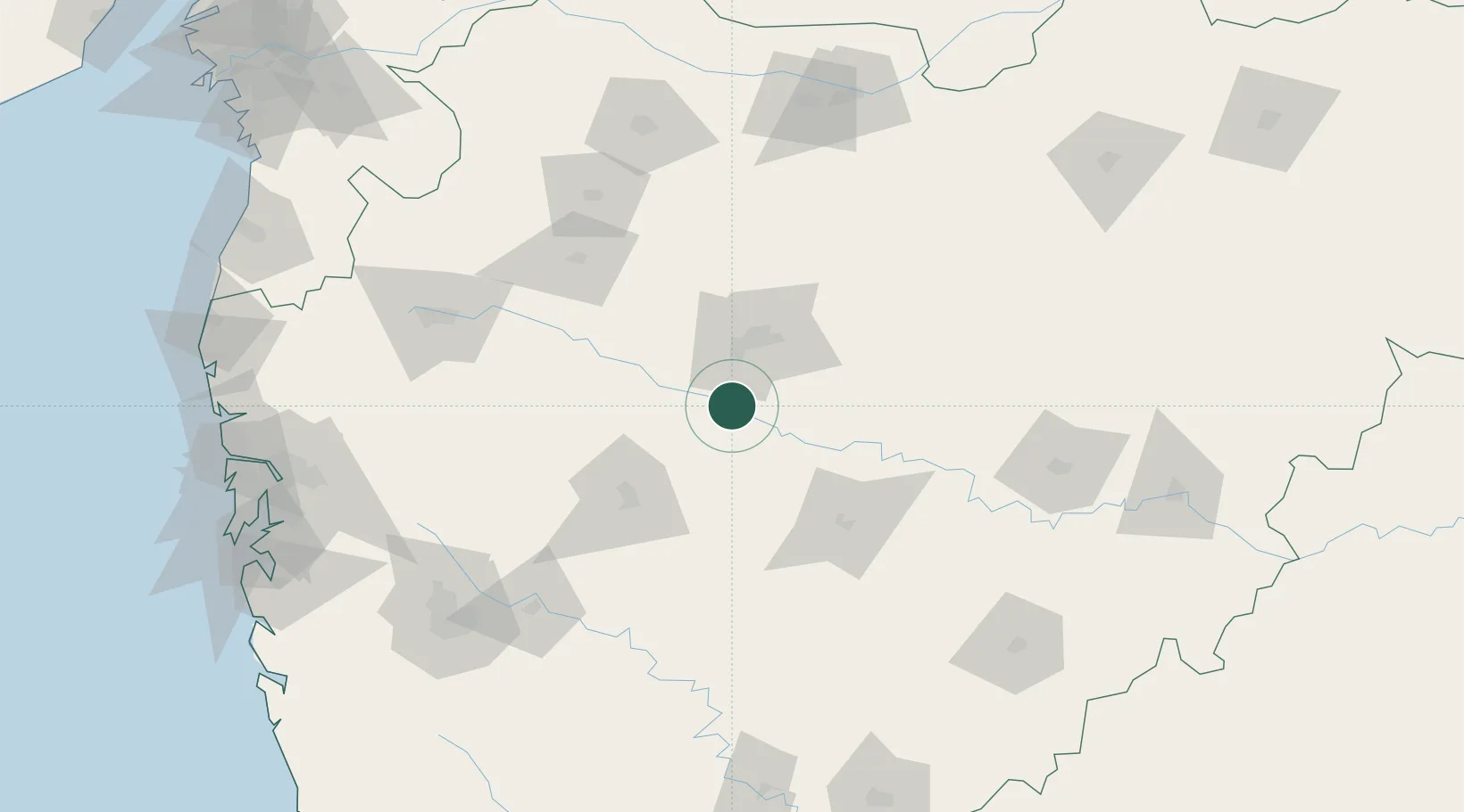
Hub Profile
Place type
Populated place
Region
Maharashtra
Time zone
Asia/Kolkata
Elevation
460 m
Location
Nearby Logistics Neighbours
Cities
- 1Aurangabad38 km
- 2Maliwada39 km
- 3Shirur63 km
- 4Ambad63 km
- 5Ahmednagar73 km
Ports
- 1Jawaharlal Nehru Port (Nhava Shiva)246 km
- 2Mumbai (Bombay)254 km
- 3Port Dabhol308 km
- 4Magdalla310 km
- 5Hazira316 km
Airports
- 1Aurangabad Airport39 km
- 2Shirdi International Airport88 km
- 3Nashik International Airport148 km
- 4Jalgaon Airport162 km
- 5Baramati Airport162 km
Trade Zones
DatabookThe Record of Consolidated Knowledge
India beyond logistics?