Small airport · India

Baramati AirportIN-0024
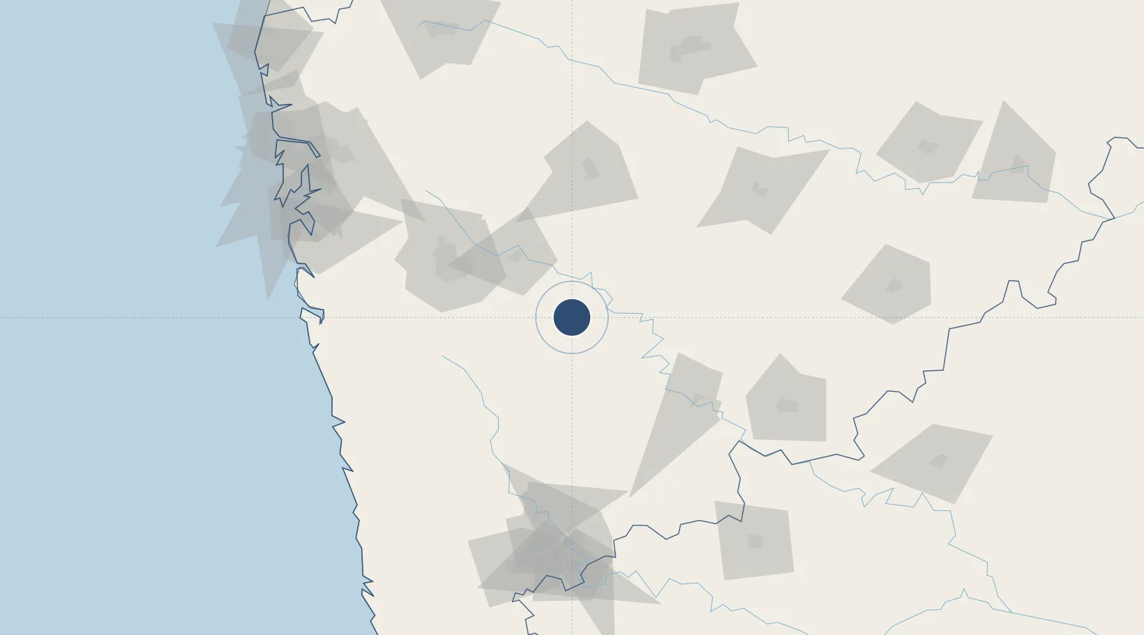
18.2269°, 74.5908°
5,500 ft
Longest runway
1
Runways
1,978 ft
Elevation

Runway & Layout

Baramati Airport runway & taxiway layout
Runway & taxiway layout — OpenStreetMap (ODbL) / OurAirports

Radio Frequencies

TWR
129.25 MHz
Advisory Tower
OurAirports

Runways · 1

RunwayDimensions SurfaceTrue headingLit
11/29 5,500 × 100ft Paved 110°
OurAirports

Airport Specifications

Airport class
Small airport
OurAirports
Scheduled service
Yes
OurAirports
Runway surface
Paved
OurAirports
Served city
Pune
OurAirports

Location

Location of IN-0024
Natural Earth 10m (public domain) · Maharashtra · IN-0024 · 18.23, 74.59GoogleOSMYandex

Nearby Logistics Neighbours

Airports
  1. 1Pune International Airport81 km
  2. 2Solapur Airport157 km
  3. 3Shirdi International Airport164 km
  4. 4Kolhapur Airport177 km
  5. 5Navi Mumbai International Airport182 km
Nearest neighbours — logibook spatial index (haversine) over the source coordinates
Cities
  1. 1Loni Kalbhor64 km
  2. 2EKIPL SEZ/Pune84 km
  3. 3ITL SEZ/Pune84 km
  4. 4MTDCCL SEZ/Pune84 km
  5. 5BTSL SEZ/Pune84 km
Nearest neighbours — logibook spatial index (haversine) over the source coordinates
Ports
  1. 1Port Dabhol167 km
  2. 2Jaigarh Bay178 km
  3. 3Jawaharlal Nehru Port (Nhava Shiva)191 km
  4. 4Ratnagiri196 km
  5. 5Mumbai (Bombay)200 km
Nearest neighbours — logibook spatial index (haversine) over the source coordinates
Trade Zones
  1. 1M s. Parsvnath SEZ Limited74 km
  2. 2Serum Bio Pharma Park SEZ75 km
  3. 3EON Kharadi Infrastructure Private Limited77 km
  4. 4Magarpatta Township Development And Construction Company Ltd.77 km
  5. 5Eon Kharadi Infrastructure Pvt Ltd82 km
Nearest neighbours — logibook spatial index (haversine) over the source coordinates
DatabookThe Record of Consolidated Knowledge
India beyond logistics?
Browse databook

All Sources

AirportsOurAirports
Public domain
Portsthe NGA World Port Index
Public domain (US gov)
LocationsUN/LOCODE
UN/LOCODE — free
Trade Zonesthe World Bank SEZ database
CC BY 4.0
Trade ZonesOpen Zone Map
CC BY
InfrastructureOpenStreetMap
ODbL 1.0
← India airports