UN/LOCODE hub · India
INMUM

Ahmednagar

19.0833°, 74.7333°
2
Transport functions

Transport Functions

Rail
Road
UN/LOCODE

Hub Profile

Region
MH
GeoNames
Logistics facilities
1
UN/LOCODE

Location

Location of INMUM
Natural Earth 10m (public domain) · MH · INMUM · 19.08, 74.73GoogleOSMYandex

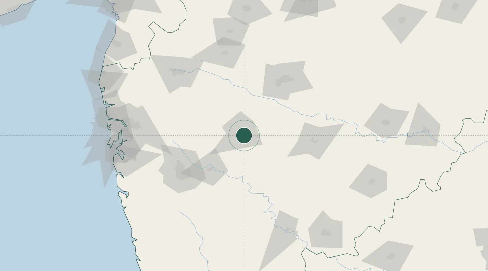
Nearby Logistics Neighbours

Cities
  1. 1Shirur35 km
  2. 2Karegaon73 km
  3. 3Loni Kalbhor102 km
  4. 4Wada104 km
  5. 5Pune105 km
Nearest neighbours — logibook spatial index (haversine) over the source coordinates
Ports
  1. 1Jawaharlal Nehru Port (Nhava Shiva)188 km
  2. 2Mumbai (Bombay)197 km
  3. 3Port Dabhol235 km
  4. 4Jaigarh Bay255 km
  5. 5Ratnagiri279 km
Nearest neighbours — logibook spatial index (haversine) over the source coordinates
Airports
  1. 1Shirdi International Airport77 km
  2. 2Baramati Airport96 km
  3. 3Pune International Airport102 km
  4. 4Aurangabad Airport111 km
  5. 5Nashik International Airport144 km
Nearest neighbours — logibook spatial index (haversine) over the source coordinates
Trade Zones
  1. 1EON Kharadi Infrastructure Private Limited101 km
  2. 2M s. Parsvnath SEZ Limited103 km
  3. 3Bajaj Auto Limited105 km
  4. 4Serum Bio Pharma Park SEZ105 km
  5. 5Magarpatta Township Development And Construction Company Ltd.106 km
Nearest neighbours — logibook spatial index (haversine) over the source coordinates
DatabookThe Record of Consolidated Knowledge
India beyond logistics?
Browse databook

All Sources

LocationsUN/LOCODE
UN/LOCODE — free
Portsthe NGA World Port Index
Public domain (US gov)
AirportsOurAirports
Public domain
Trade Zonesthe World Bank SEZ database
CC BY 4.0
Trade ZonesOpen Zone Map
CC BY
← India locations