UN/LOCODE hub · India
INMWA

Maliwada

19.9167°, 75.2167°
2
Transport functions

Transport Functions

Rail
Road
UN/LOCODE

Hub Profile

Region
MH
GeoNames

Location

Location of INMWA
Natural Earth 10m (public domain) · MH · INMWA · 19.92, 75.22GoogleOSMYandex

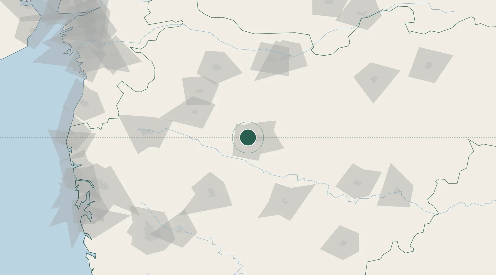
Nearby Logistics Neighbours

Cities
  1. 1Aurangabad13 km
  2. 2Karegaon39 km
  3. 3Ambad70 km
  4. 4Shirur85 km
  5. 5Ahmednagar106 km
Nearest neighbours — logibook spatial index (haversine) over the source coordinates
Ports
  1. 1Jawaharlal Nehru Port (Nhava Shiva)261 km
  2. 2Mumbai (Bombay)268 km
  3. 3Magdalla291 km
  4. 4Hazira299 km
  5. 5Port Dabhol338 km
Nearest neighbours — logibook spatial index (haversine) over the source coordinates
Airports
  1. 1Aurangabad Airport20 km
  2. 2Shirdi International Airport92 km
  3. 3Jalgaon Airport124 km
  4. 4Nashik International Airport138 km
  5. 5Baramati Airport199 km
Nearest neighbours — logibook spatial index (haversine) over the source coordinates
Trade Zones
  1. 1Ajanta Projects (India) Ltd.17 km
  2. 2Wockhardt Infrastructure Development Limited29 km
  3. 3Bajaj Auto Limited197 km
  4. 4Syntel International Pvt Ltd201 km
  5. 5EON Kharadi Infrastructure Private Limited202 km
Nearest neighbours — logibook spatial index (haversine) over the source coordinates
DatabookThe Record of Consolidated Knowledge
India beyond logistics?
Browse databook

All Sources

LocationsUN/LOCODE
UN/LOCODE — free
Portsthe NGA World Port Index
Public domain (US gov)
AirportsOurAirports
Public domain
Trade Zonesthe World Bank SEZ database
CC BY 4.0
Trade ZonesOpen Zone Map
CC BY
← India locations