Seaport · India

Port DabholINDHP

17.5833°, 73.1667°

Channel & Berth Profile

NGA World Port Index

Facilities & Capabilities

Container
Ro-Ro
Liquid bulk
Dry bulk
Oil terminal
Break bulk
Dry dock
Repairs
Bunkering
Rail link
Dangerous cargo
ISPS security
NGA World Port Index

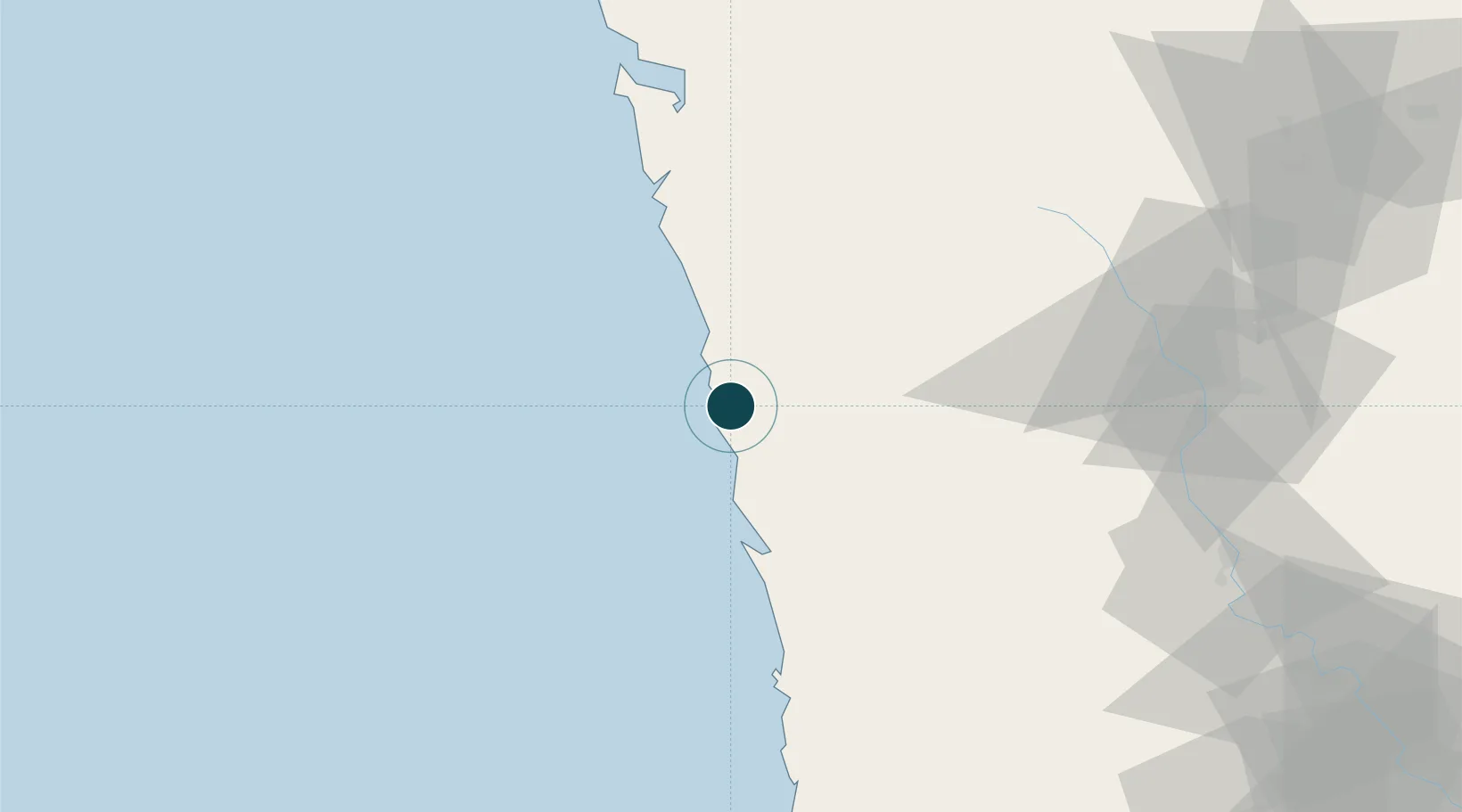
Harbour Specifications

Harbour size
Very Small
NGA World Port Index
Harbour type
River (Basins)
NGA World Port Index
Water body
Arabian Sea; Indian Ocean
NGA World Port Index

Location

Location of INDHP
Natural Earth 10m (public domain) · Maharashtra · INDHP · 17.58, 73.17GoogleOSMYandex

Nearby Logistics Neighbours

Ports
  1. 1Jaigarh Bay32 km
  2. 2Ratnagiri68 km
  3. 3Jawaharlal Nehru Port (Nhava Shiva)154 km
  4. 4Mumbai (Bombay)157 km
  5. 5Panaji242 km
Nearest neighbours — logibook spatial index (haversine) over the source coordinates
Cities
  1. 1Apm Icd/Bhamboli-Khed27 km
  2. 2Jaigad31 km
  3. 3Dighi (Pune)77 km
  4. 4IT-ITES-B-SEZ/Ulwe79 km
  5. 5Multi Services-SEZ/Ulwe79 km
Nearest neighbours — logibook spatial index (haversine) over the source coordinates
Airports
  1. 1Ratnagiri Airport66 km
  2. 2Pune International Airport137 km
  3. 3Navi Mumbai International Airport156 km
  4. 4Kolhapur Airport157 km
  5. 5Baramati Airport167 km
Nearest neighbours — logibook spatial index (haversine) over the source coordinates
Trade Zones
  1. 1Embassy Quadron Tech Park125 km
  2. 2Infosys Limited127 km
  3. 3Pune Embassy India Pvt Ltd127 km
  4. 4Maharashtra Industrial Development Corporation, Hinjewadi Pune.129 km
  5. 5Khed Economic Infrastructure Pvt. Ltd.129 km
Nearest neighbours — logibook spatial index (haversine) over the source coordinates
DatabookThe Record of Consolidated Knowledge
India beyond logistics?
Browse databook

All Sources

Portsthe NGA World Port Index
Public domain (US gov)
AirportsOurAirports
Public domain
LocationsUN/LOCODE
UN/LOCODE — free
Trade Zonesthe World Bank SEZ database
CC BY 4.0
Trade ZonesOpen Zone Map
CC BY
← India ports