Specialized Zone · India

Ajanta Projects (India) Ltd. Active
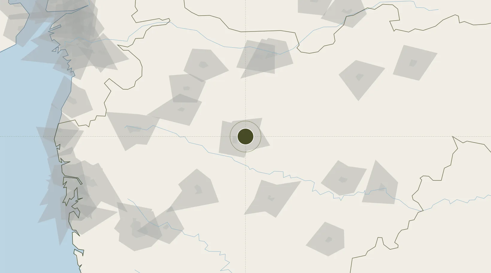
19.8901°, 75.3770°
10 ha
Zone area
275.1 km
Nearest port
3.6 km
Nearest airport

Gateway access

Nearest neighbours — logibook spatial index (haversine) over the source coordinates

Zone profile

Zone type
Specialized Zone
Open Zone Map
Specialization
Biotech
Open Zone Map
Region
Maharashtra
Open Zone Map
Status
Active
Open Zone Map
Management
Private
Open Zone Map
Operator
Ajanta Phrarma Ltd.
Open Zone Map
Legal framework
Maharashtra Special Economic Zone Policy,The Special Economic Zones Act, 2005
Open Zone Map

Location

Location of ozm-2161
Natural Earth 10m (public domain) · Maharashtra · ozm-2161 · 19.89, 75.38GoogleOSMYandex

Nearby Logistics Neighbours

Ports
  1. 1Jawaharlal Nehru Port (Nhava Shiva)275 km
  2. 2Mumbai (Bombay)283 km
  3. 3Magdalla307 km
  4. 4Hazira315 km
  5. 5Port Dabhol346 km
Nearest neighbours — logibook spatial index (haversine) over the source coordinates
Airports
  1. 1Aurangabad Airport4 km
  2. 2Shirdi International Airport107 km
  3. 3Jalgaon Airport122 km
  4. 4Nashik International Airport155 km
  5. 5Akola Airport197 km
Nearest neighbours — logibook spatial index (haversine) over the source coordinates
Cities
  1. 1Aurangabad5 km
  2. 2Maliwada17 km
  3. 3Karegaon41 km
  4. 4Ambad54 km
  5. 5Shirur96 km
Nearest neighbours — logibook spatial index (haversine) over the source coordinates
Trade Zones
  1. 1Wockhardt Infrastructure Development Limited12 km
  2. 2Bajaj Auto Limited208 km
  3. 3EON Kharadi Infrastructure Private Limited211 km
  4. 4Syntel International Pvt Ltd212 km
  5. 5M s. Parsvnath SEZ Limited213 km
Nearest neighbours — logibook spatial index (haversine) over the source coordinates
DatabookThe Record of Consolidated Knowledge
India beyond logistics?
Browse databook

All Sources

Trade ZonesOpen Zone Map
CC BY
Portsthe NGA World Port Index
Public domain (US gov)
AirportsOurAirports
Public domain
LocationsUN/LOCODE
UN/LOCODE — free
← India trade zones