Transport Functions
Multimodal
Hub Profile
Place type
Provincial seat
Region
Maharashtra
Population
1,175,116
Time zone
Asia/Kolkata
Elevation
588 m
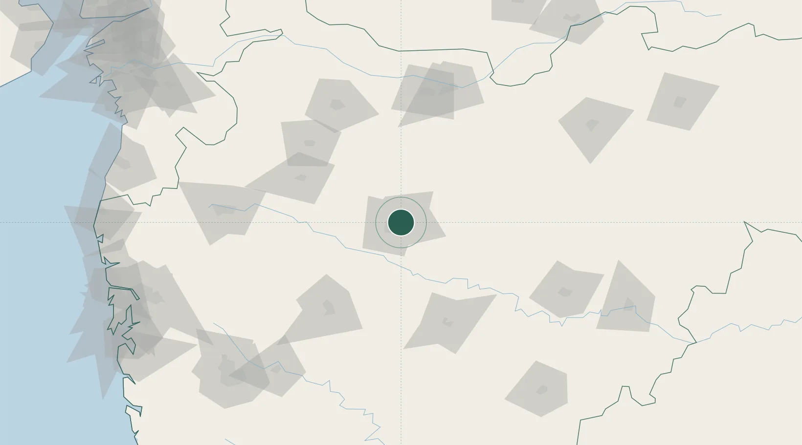
Location
Nearby Logistics Neighbours
Cities
- 1Maliwada13 km
- 2Karegaon38 km
- 3Ambad57 km
- 4Shirur92 km
- 5Ahmednagar109 km
Ports
- 1Jawaharlal Nehru Port (Nhava Shiva)271 km
- 2Mumbai (Bombay)278 km
- 3Magdalla304 km
- 4Hazira311 km
- 5Port Dabhol343 km
Airports
- 1Aurangabad Airport7 km
- 2Shirdi International Airport103 km
- 3Jalgaon Airport124 km
- 4Nashik International Airport151 km
- 5Baramati Airport200 km
Trade Zones
DatabookThe Record of Consolidated Knowledge
India beyond logistics?