Specialized Zone · India

M s. Parsvnath SEZ Limited Active
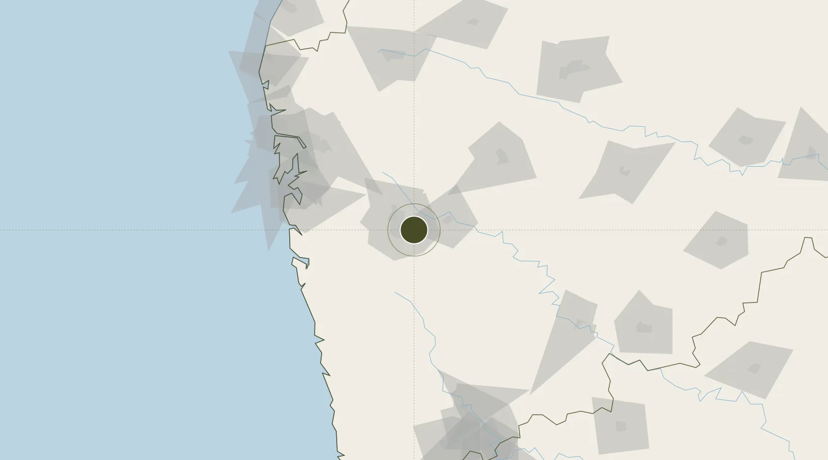
18.5159°, 73.9610°
10 ha
Zone area
116.9 km
Nearest port
8.6 km
Nearest airport

Gateway access

Nearest neighbours — logibook spatial index (haversine) over the source coordinates

Zone profile

Zone type
Specialized Zone
Open Zone Map
Specialization
Biotech
Open Zone Map
Region
Maharashtra
Open Zone Map
Status
Active
Open Zone Map
Management
Private
Open Zone Map
Operator
M/s. Parsvnath SEZ Limited
Open Zone Map
Legal framework
Andhra Pradesh Bill No. 51 of 2005
Open Zone Map

Location

Location of ozm-2158
Natural Earth 10m (public domain) · Maharashtra · ozm-2158 · 18.52, 73.96GoogleOSMYandex

Nearby Logistics Neighbours

Ports
  1. 1Jawaharlal Nehru Port (Nhava Shiva)117 km
  2. 2Mumbai (Bombay)126 km
  3. 3Port Dabhol133 km
  4. 4Jaigarh Bay157 km
  5. 5Ratnagiri185 km
Nearest neighbours — logibook spatial index (haversine) over the source coordinates
Airports
  1. 1Pune International Airport9 km
  2. 2Baramati Airport74 km
  3. 3Navi Mumbai International Airport108 km
  4. 4Chhatrapati Shivaji Maharaj International Airport132 km
  5. 5Shirdi International Airport138 km
Nearest neighbours — logibook spatial index (haversine) over the source coordinates
Cities
  1. 1EKIPL SEZ/Pune10 km
  2. 2ITL SEZ/Pune10 km
  3. 3MTDCCL SEZ/Pune10 km
  4. 4BTSL SEZ/Pune10 km
  5. 5SIPL SEZ/Pune10 km
Nearest neighbours — logibook spatial index (haversine) over the source coordinates
DatabookThe Record of Consolidated Knowledge
India beyond logistics?
Browse databook

All Sources

Trade ZonesOpen Zone Map
CC BY
Portsthe NGA World Port Index
Public domain (US gov)
AirportsOurAirports
Public domain
LocationsUN/LOCODE
UN/LOCODE — free
← India trade zones