Specialized Zone · India

Wockhardt Infrastructure Development Limited Active
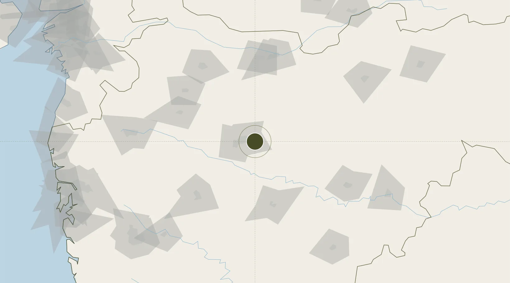
19.8741°, 75.4939°
107 ha
Zone area
285.9 km
Nearest port
10.3 km
Nearest airport

Gateway access

Nearest neighbours — logibook spatial index (haversine) over the source coordinates

Zone profile

Zone type
Specialized Zone
Open Zone Map
Specialization
Biotech
Open Zone Map
Region
Maharashtra
Open Zone Map
Status
Active
Open Zone Map
Management
Private
Open Zone Map
Operator
Wockhardt Infrastructure Development Limited
Open Zone Map
Legal framework
Maharashtra SEZ Act/Policy, The Special Economic Zones Act, 2005
Open Zone Map

Location

Location of ozm-2172
Natural Earth 10m (public domain) · Maharashtra · ozm-2172 · 19.87, 75.49GoogleOSMYandex

Nearby Logistics Neighbours

Ports
  1. 1Jawaharlal Nehru Port (Nhava Shiva)286 km
  2. 2Mumbai (Bombay)293 km
  3. 3Magdalla319 km
  4. 4Hazira327 km
  5. 5Port Dabhol354 km
Nearest neighbours — logibook spatial index (haversine) over the source coordinates
Airports
  1. 1Aurangabad Airport10 km
  2. 2Shirdi International Airport119 km
  3. 3Jalgaon Airport122 km
  4. 4Nashik International Airport167 km
  5. 5Akola Airport187 km
Nearest neighbours — logibook spatial index (haversine) over the source coordinates
Cities
  1. 1Aurangabad17 km
  2. 2Maliwada29 km
  3. 3Ambad43 km
  4. 4Karegaon46 km
  5. 5Shirur105 km
Nearest neighbours — logibook spatial index (haversine) over the source coordinates
Trade Zones
  1. 1Ajanta Projects (India) Ltd.12 km
  2. 2Bajaj Auto Limited217 km
  3. 3EON Kharadi Infrastructure Private Limited219 km
  4. 4M s. Parsvnath SEZ Limited221 km
  5. 5Syntel International Pvt Ltd221 km
Nearest neighbours — logibook spatial index (haversine) over the source coordinates
DatabookThe Record of Consolidated Knowledge
India beyond logistics?
Browse databook

All Sources

Trade ZonesOpen Zone Map
CC BY
Portsthe NGA World Port Index
Public domain (US gov)
AirportsOurAirports
Public domain
LocationsUN/LOCODE
UN/LOCODE — free
← India trade zones