Transport Functions
Multimodal
Hub Profile
Place type
Populated place
Region
Maharashtra
Population
31,553
Time zone
Asia/Kolkata
Elevation
512 m
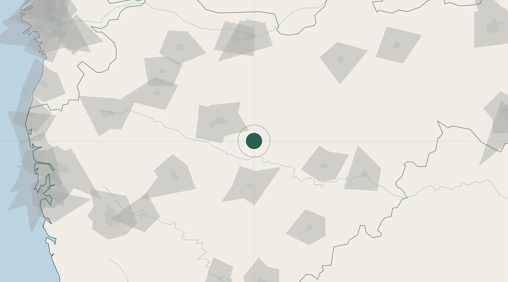
Location
Nearby Logistics Neighbours
Cities
- 1Aurangabad57 km
- 2Karegaon63 km
- 3Maliwada70 km
- 4Shirur125 km
- 5Ahmednagar127 km
Ports
- 1Jawaharlal Nehru Port (Nhava Shiva)308 km
- 2Mumbai (Bombay)316 km
- 3Port Dabhol358 km
- 4Magdalla361 km
- 5Hazira368 km
Airports
- 1Aurangabad Airport50 km
- 2Shirdi International Airport150 km
- 3Jalgaon Airport151 km
- 4Murod Kond Airport151 km
- 5Nanded Airport166 km
Trade Zones
DatabookThe Record of Consolidated Knowledge
India beyond logistics?