Transport Functions
Multimodal
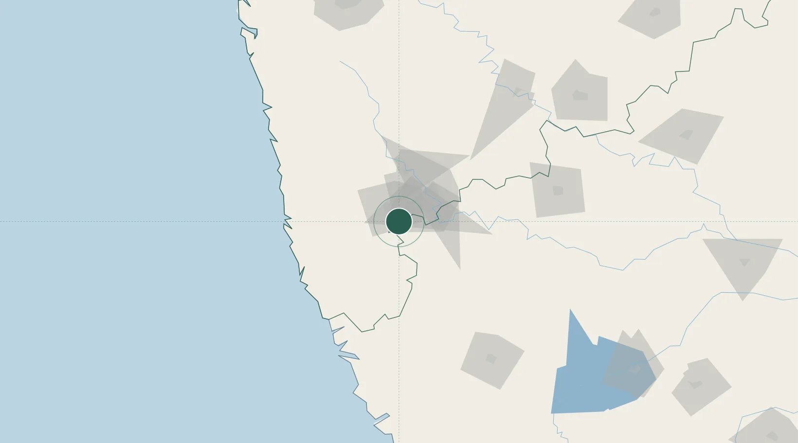
Hub Profile
Place type
Populated place
Region
Maharashtra
Population
34,106
Time zone
Asia/Kolkata
Elevation
565 m
Location
Nearby Logistics Neighbours
Cities
- 1Quest-SEZ/Belgaum82 km
- 2Satara127 km
- 3Jaigad143 km
- 4Verna144 km
- 5Marmagao (Marmugao)147 km
Ports
- 1Ratnagiri119 km
- 2Panaji132 km
- 3Marmagao141 km
- 4Jaigarh Bay142 km
- 5Port Dabhol165 km
Airports
- 1Kolhapur Airport10 km
- 2Belagavi Airport87 km
- 3Manohar International Airport105 km
- 4Sindhudurg Airport106 km
- 5Ratnagiri Airport116 km
Trade Zones
DatabookThe Record of Consolidated Knowledge
India beyond logistics?