Transport Functions
Port
Hub Profile
Region
MH
Logistics facilities
1
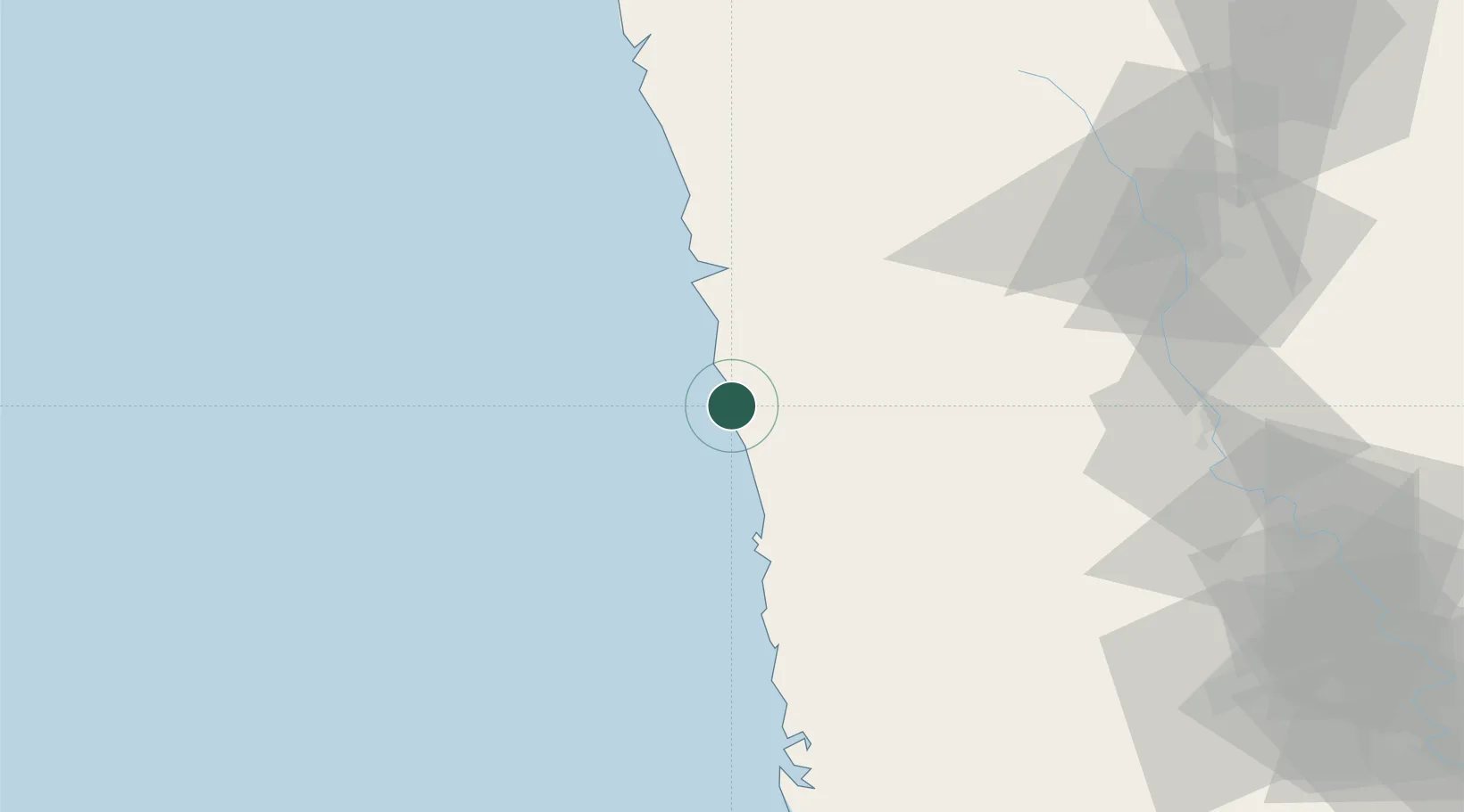
Location
Nearby Logistics Neighbours
Cities
- 1Apm Icd/Bhamboli-Khed50 km
- 2Satara92 km
- 3IT-ITES-B-SEZ/Ulwe108 km
- 4Multi Services-SEZ/Ulwe108 km
- 5IT-ITES-A-SEZ/Ulwe108 km
Ports
- 1Port Dabhol31 km
- 2Ratnagiri37 km
- 3Jawaharlal Nehru Port (Nhava Shiva)185 km
- 4Mumbai (Bombay)188 km
- 5Panaji211 km
Airports
- 1Ratnagiri Airport35 km
- 2Kolhapur Airport135 km
- 3Sindhudurg Airport149 km
- 4Pune International Airport161 km
- 5Baramati Airport179 km
DatabookThe Record of Consolidated Knowledge
India beyond logistics?