Large airport · India

Manohar International AirportVOGA
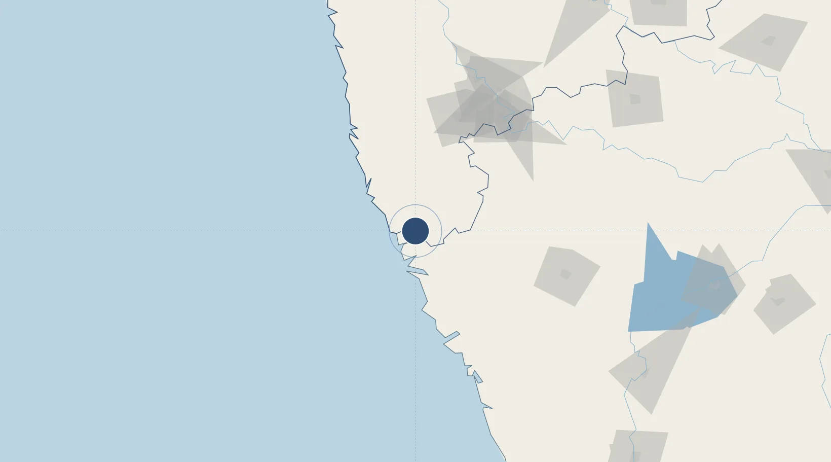
15.7443°, 73.8606°
11,483 ft
Longest runway
1
Runways
552 ft
Elevation

Runway & Layout

Manohar International Airport runway & taxiway layout
Runway & taxiway layout — OpenStreetMap (ODbL) / OurAirports

Runways · 1

RunwayDimensions SurfaceTrue headingLit
10/28 11,483 × 148ft ASPH
OurAirports

Airport Specifications

IATA code
GOX
OurAirports
ICAO code
VOGA
OurAirports
Airport class
Large airport
OurAirports
Scheduled service
Yes
OurAirports
Runway surface
ASPH
OurAirports
Served city
Mopa
OurAirports

Location

Location of VOGA
Natural Earth 10m (public domain) · Maharashtra · VOGA · 15.74, 73.86GoogleOSMYandex

Nearby Logistics Neighbours

Airports
  1. 1Goa Dabolim International Airport41 km
  2. 2Sindhudurg Airport46 km
  3. 3Belagavi Airport82 km
  4. 4Kolhapur Airport112 km
  5. 5Hubballi Airport138 km
Nearest neighbours — logibook spatial index (haversine) over the source coordinates
Cities
  1. 1Verna44 km
  2. 2Marmagao (Marmugao)46 km
  3. 3Balli68 km
  4. 4Madgaon69 km
  5. 5Quest-SEZ/Belgaum70 km
Nearest neighbours — logibook spatial index (haversine) over the source coordinates
Ports
  1. 1Panaji28 km
  2. 2Marmagao37 km
  3. 3Karwar107 km
  4. 4Belekeri124 km
  5. 5Ratnagiri151 km
Nearest neighbours — logibook spatial index (haversine) over the source coordinates
Trade Zones
  1. 1K. Raheja Corp Pvt. Ltd.28 km
  2. 2QuEST Global Special Economic Zone82 km
  3. 3Keonics Shimoga282 km
  4. 4Aspen, Padubidri Special Economic Zone (Formerly Aspen)306 km
  5. 5Serum Bio Pharma Park SEZ307 km
Nearest neighbours — logibook spatial index (haversine) over the source coordinates
DatabookThe Record of Consolidated Knowledge
India beyond logistics?
Browse databook

All Sources

AirportsOurAirports
Public domain
Portsthe NGA World Port Index
Public domain (US gov)
LocationsUN/LOCODE
UN/LOCODE — free
Trade Zonesthe World Bank SEZ database
CC BY 4.0
Trade ZonesOpen Zone Map
CC BY
InfrastructureOpenStreetMap
ODbL 1.0
← India airports