Medium airport · India
Ratnagiri AirportVARG
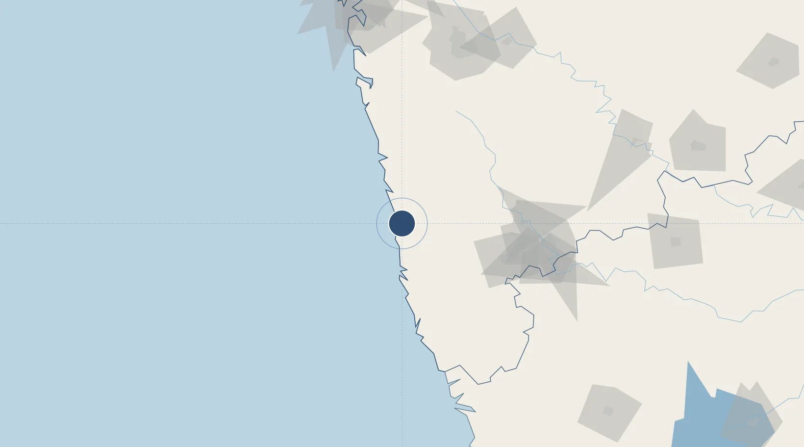
17.0136°, 73.3278°
6,890 ft
Longest runway
1
Runways
305 ft
Elevation
Runway & Layout

Runways · 1
| Runway | Dimensions | Surface | True heading | Lit |
|---|---|---|---|---|
| 05/23 | 6,890 × 148ft | Asphalt | 043° | — |
Airport Specifications
IATA code
RTC
ICAO code
VARG
Airport class
Medium airport
Scheduled service
No
Runway surface
Asphalt
Location
Nearby Logistics Neighbours
Airports
- 1Kolhapur Airport109 km
- 2Sindhudurg Airport115 km
- 3Manohar International Airport152 km
- 4Pune International Airport185 km
- 5Belagavi Airport188 km
Cities
- 1Jaigad35 km
- 2Apm Icd/Bhamboli-Khed78 km
- 3Satara102 km
- 4Kagal116 km
- 5IT-ITES-B-SEZ/Ulwe138 km
Ports
- 1Ratnagiri6 km
- 2Jaigarh Bay34 km
- 3Port Dabhol66 km
- 4Panaji176 km
- 5Marmagao184 km
DatabookThe Record of Consolidated Knowledge
India beyond logistics?