Channel & Berth Profile
Pilotage, Tugs & Services
Pilotage compulsoryNO
Pilotage availableYES
Tug assistanceNO
Salvage tugsNO
Potable waterYES
MedicalYES
Garbage disposalNO
Facilities & Capabilities
Container—
Ro-Ro—
Liquid bulk—
Dry bulk—
Oil terminal—
Break bulk—
Dry dock—
Repairs—
Bunkering—
Rail linkYES
Dangerous cargo—
ISPS security—
Harbour Specifications
Harbour size
Very Small
Harbour type
Coastal (Natural)
Shelter
Poor
Water body
Arabian Sea; Indian Ocean
Tidal range
3 m
Overhead limit
Yes
Pilotage
No
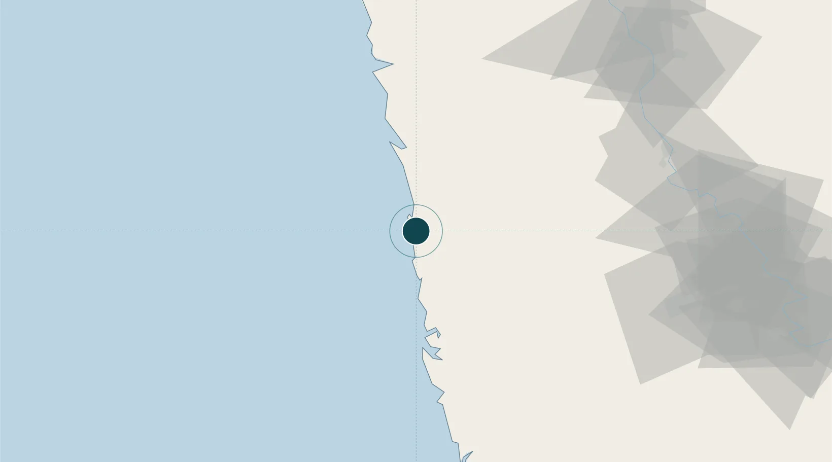
Location
Nearby Logistics Neighbours
Ports
- 1Jaigarh Bay36 km
- 2Port Dabhol68 km
- 3Panaji175 km
- 4Marmagao183 km
- 5Jawaharlal Nehru Port (Nhava Shiva)222 km
Cities
- 1Jaigad37 km
- 2Apm Icd/Bhamboli-Khed82 km
- 3Satara108 km
- 4Kagal119 km
- 5IT-ITES-B-SEZ/Ulwe142 km
Airports
- 1Ratnagiri Airport6 km
- 2Sindhudurg Airport112 km
- 3Kolhapur Airport113 km
- 4Manohar International Airport151 km
- 5Goa Dabolim International Airport188 km
Trade Zones
DatabookThe Record of Consolidated Knowledge
India beyond logistics?