UN/LOCODE hub · India
INVER

Verna

15.3500°, 73.9167°
6,632
Population
1
Transport functions

Transport Functions

Multimodal
UN/LOCODE

Hub Profile

Place type
Populated place
GeoNames
Region
Goa
GeoNames
Population
6,632
GeoNames
Time zone
Asia/Kolkata
GeoNames
Elevation
18 m
GeoNames

Location

Location of INVER
Natural Earth 10m (public domain) · Goa · INVER · 15.35, 73.92GoogleOSMYandex

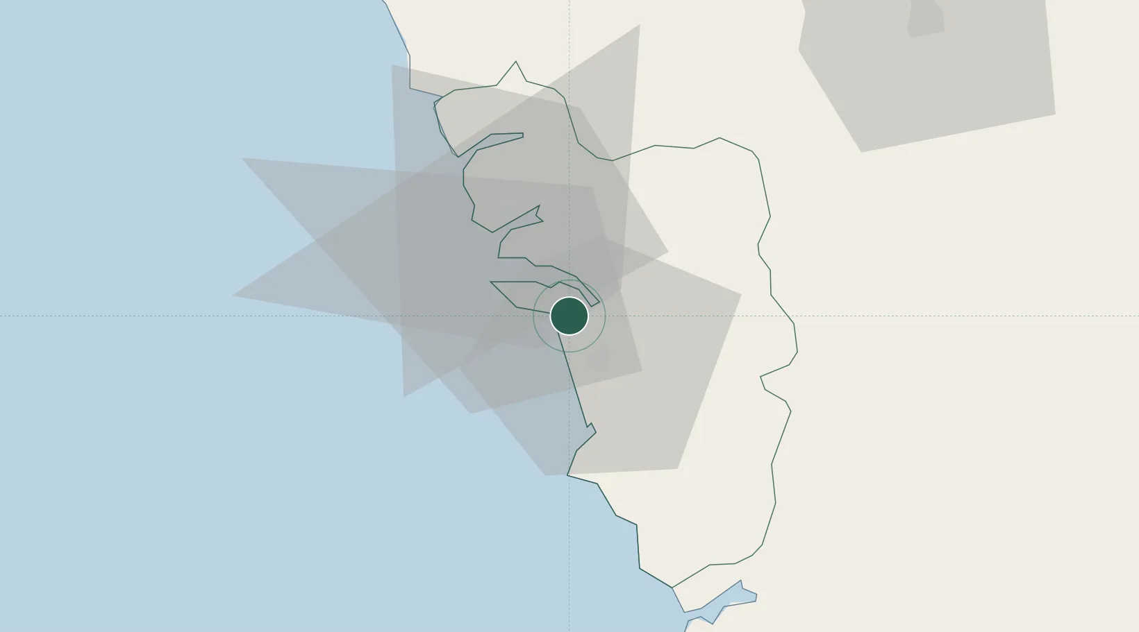
Nearby Logistics Neighbours

Cities
  1. 1Marmagao (Marmugao)5 km
  2. 2Balli25 km
  3. 3Madgaon25 km
  4. 4Quest-SEZ/Belgaum85 km
  5. 5Tadri104 km
Nearest neighbours — logibook spatial index (haversine) over the source coordinates
Ports
  1. 1Marmagao15 km
  2. 2Panaji20 km
  3. 3Karwar63 km
  4. 4Belekeri82 km
  5. 5Ratnagiri194 km
Nearest neighbours — logibook spatial index (haversine) over the source coordinates
Airports
  1. 1Goa Dabolim International Airport10 km
  2. 2Manohar International Airport44 km
  3. 3Sindhudurg Airport84 km
  4. 4Belagavi Airport94 km
  5. 5Hubballi Airport125 km
Nearest neighbours — logibook spatial index (haversine) over the source coordinates
Trade Zones
  1. 1K. Raheja Corp Pvt. Ltd.16 km
  2. 2QuEST Global Special Economic Zone107 km
  3. 3Keonics Shimoga247 km
  4. 4Aspen, Padubidri Special Economic Zone (Formerly Aspen)263 km
  5. 5Suzlon Infrastructure Ltd.264 km
Nearest neighbours — logibook spatial index (haversine) over the source coordinates
DatabookThe Record of Consolidated Knowledge
India beyond logistics?
Browse databook

All Sources

LocationsUN/LOCODE
UN/LOCODE — free
LocationsGeoNames
CC BY 4.0
Portsthe NGA World Port Index
Public domain (US gov)
AirportsOurAirports
Public domain
Trade Zonesthe World Bank SEZ database
CC BY 4.0
Trade ZonesOpen Zone Map
CC BY
← India locations