Medium airport · India

Kolhapur AirportVAKP
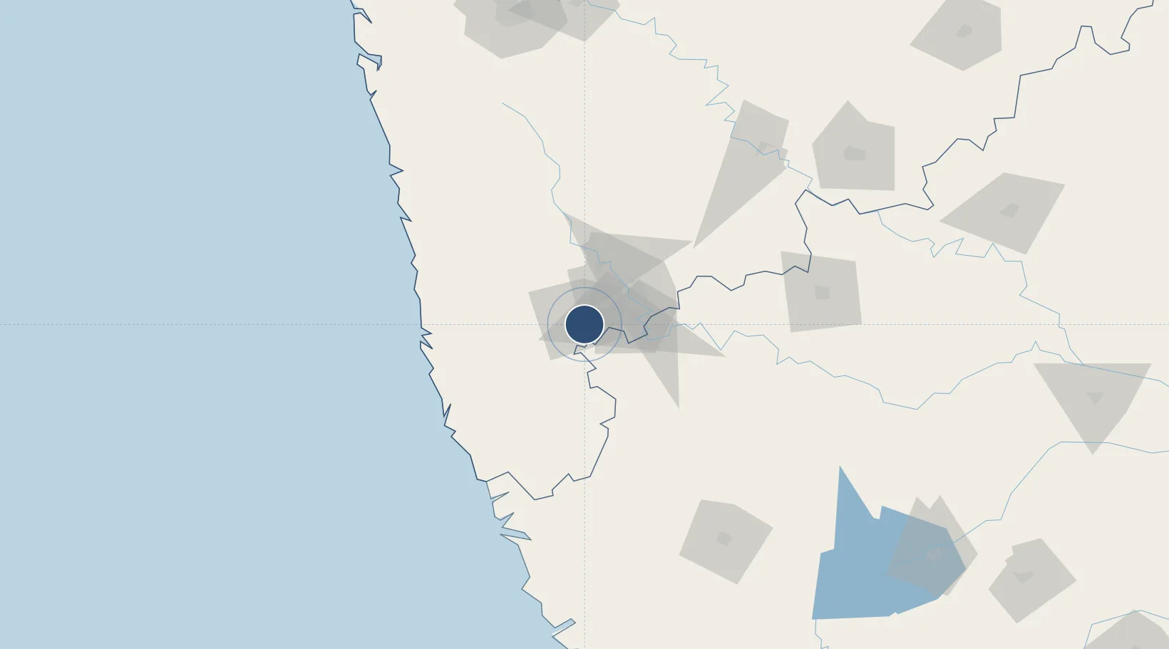
16.6647°, 74.2894°
6,332 ft
Longest runway
1
Runways
1,996 ft
Elevation

Runway & Layout

Kolhapur Airport runway & taxiway layout
Runway & taxiway layout — OpenStreetMap (ODbL) / OurAirports

Radio Frequencies

TWR
126.9 MHz
OurAirports

Navaids

KP NDB Kolhapur 260 kHz
OurAirports

Runways · 1

RunwayDimensions SurfaceTrue headingLit
07/25 6,332 × 147ft Asphalt 070°
OurAirports

Airport Specifications

IATA code
KLH
OurAirports
ICAO code
VAKP
OurAirports
Airport class
Medium airport
OurAirports
Scheduled service
Yes
OurAirports
Runway surface
Asphalt
OurAirports
Served city
Kolhapur
OurAirports

Location

Location of VAKP
Natural Earth 10m (public domain) · Maharashtra · VAKP · 16.66, 74.29GoogleOSMYandex

Nearby Logistics Neighbours

Airports
  1. 1Belagavi Airport96 km
  2. 2Ratnagiri Airport109 km
  3. 3Sindhudurg Airport110 km
  4. 4Manohar International Airport112 km
  5. 5Goa Dabolim International Airport151 km
Nearest neighbours — logibook spatial index (haversine) over the source coordinates
Cities
  1. 1Kagal10 km
  2. 2Quest-SEZ/Belgaum92 km
  3. 3Satara118 km
  4. 4Jaigad135 km
  5. 5Kippl-Gdpl Sez/Kharadi147 km
Nearest neighbours — logibook spatial index (haversine) over the source coordinates
Ports
  1. 1Ratnagiri113 km
  2. 2Jaigarh Bay134 km
  3. 3Panaji139 km
  4. 4Marmagao148 km
  5. 5Port Dabhol157 km
Nearest neighbours — logibook spatial index (haversine) over the source coordinates
Trade Zones
  1. 1QuEST Global Special Economic Zone66 km
  2. 2K. Raheja Corp Pvt. Ltd.137 km
  3. 3Serum Bio Pharma Park SEZ208 km
  4. 4M s. Parsvnath SEZ Limited209 km
  5. 5Magarpatta Township Development And Construction Company Ltd.209 km
Nearest neighbours — logibook spatial index (haversine) over the source coordinates
DatabookThe Record of Consolidated Knowledge
India beyond logistics?
Browse databook

All Sources

AirportsOurAirports
Public domain
Portsthe NGA World Port Index
Public domain (US gov)
LocationsUN/LOCODE
UN/LOCODE — free
Trade Zonesthe World Bank SEZ database
CC BY 4.0
Trade ZonesOpen Zone Map
CC BY
InfrastructureOpenStreetMap
ODbL 1.0
← India airports