Runway & Layout

Airport Specifications
IATA code
SDW
ICAO code
VOSR
Airport class
Medium airport
Scheduled service
Yes
Served city
Chipi
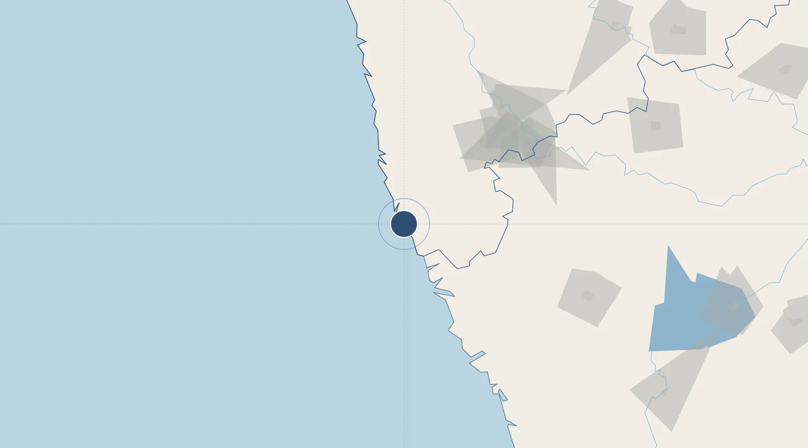
Location
Nearby Logistics Neighbours
Airports
- 1Manohar International Airport46 km
- 2Goa Dabolim International Airport77 km
- 3Kolhapur Airport110 km
- 4Ratnagiri Airport115 km
- 5Belagavi Airport118 km
Cities
- 1Marmagao (Marmugao)83 km
- 2Verna84 km
- 3Quest-SEZ/Belgaum105 km
- 4Kagal106 km
- 5Balli108 km
Ports
- 1Panaji64 km
- 2Marmagao71 km
- 3Ratnagiri112 km
- 4Karwar146 km
- 5Jaigarh Bay148 km
DatabookThe Record of Consolidated Knowledge
India beyond logistics?