UN/LOCODE hub · India
INMRM
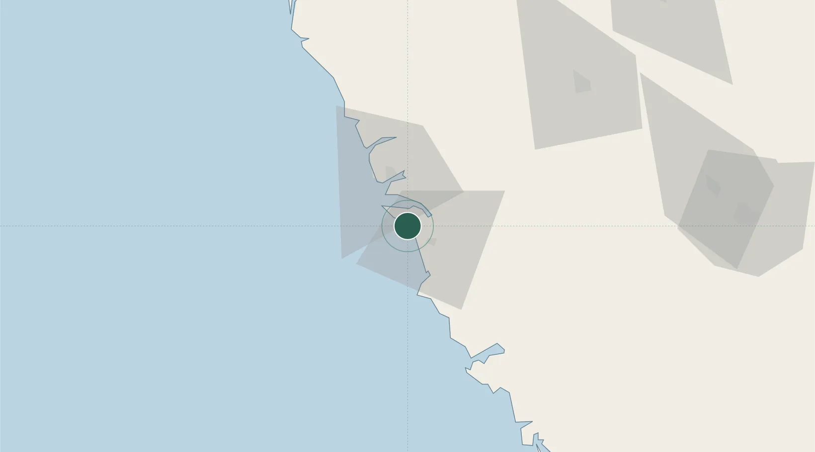
Marmagao (Marmugao)
15.3335°, 73.8785°
3
Transport functions
1
Container terminals
Transport Functions
Port
Rail
Road
Hub Profile
Region
GA
Logistics facilities
5
Container terminals
1
Location
Nearby Logistics Neighbours
Cities
- 1Verna5 km
- 2Balli25 km
- 3Madgaon26 km
- 4Quest-SEZ/Belgaum89 km
- 5Tadri104 km
Ports
- 1Panaji20 km
- 2Karwar63 km
- 3Belekeri82 km
- 4Ratnagiri194 km
- 5Jaigarh Bay230 km
Airports
- 1Goa Dabolim International Airport7 km
- 2Manohar International Airport46 km
- 3Sindhudurg Airport83 km
- 4Belagavi Airport99 km
- 5Hubballi Airport129 km
Trade Zones
DatabookThe Record of Consolidated Knowledge
India beyond logistics?