Transport Functions
Multimodal
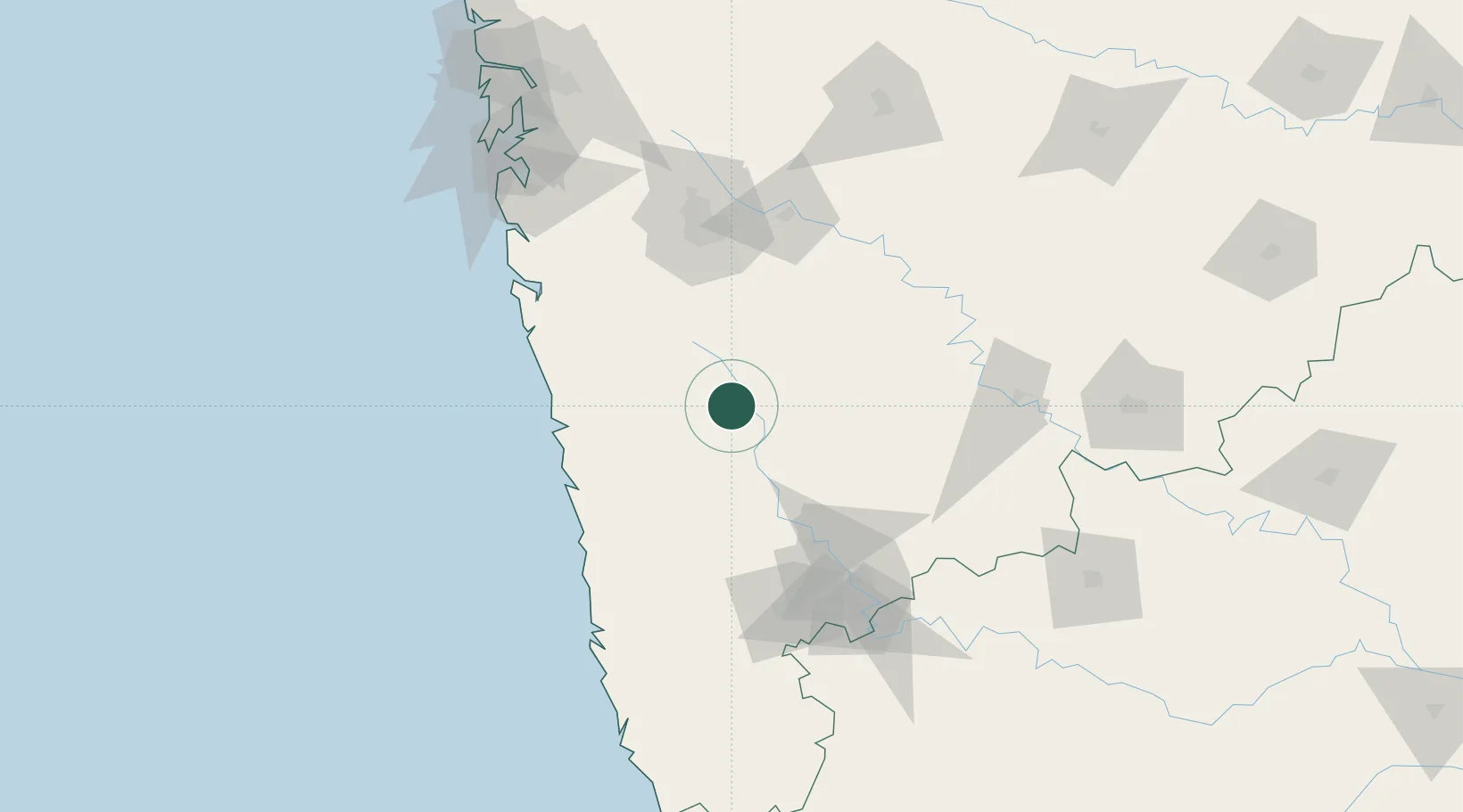
Hub Profile
Place type
Populated place
Region
Maharashtra
Population
120,195
Time zone
Asia/Kolkata
Elevation
709 m
Location
Nearby Logistics Neighbours
Cities
- 1Apm Icd/Bhamboli-Khed64 km
- 2Loni Kalbhor85 km
- 3IT-ITES-B-SEZ/Ulwe86 km
- 4Multi Services-SEZ/Ulwe86 km
- 5IT-ITES-A-SEZ/Ulwe86 km
Ports
- 1Port Dabhol87 km
- 2Jaigarh Bay92 km
- 3Ratnagiri108 km
- 4Jawaharlal Nehru Port (Nhava Shiva)178 km
- 5Mumbai (Bombay)185 km
Airports
- 1Baramati Airport88 km
- 2Pune International Airport100 km
- 3Ratnagiri Airport102 km
- 4Kolhapur Airport118 km
- 5Navi Mumbai International Airport174 km
DatabookThe Record of Consolidated Knowledge
India beyond logistics?