UN/LOCODE hub · India
INJPW

Sanganer

26.8167°, 75.7833°
1
Transport functions

Transport Functions

Multimodal
UN/LOCODE

Hub Profile

Place type
Populated place
GeoNames
Region
Rajasthan
GeoNames
Time zone
Asia/Kolkata
GeoNames
Elevation
382 m
GeoNames

Location

Location of INJPW
Natural Earth 10m (public domain) · Rajasthan · INJPW · 26.82, 75.78GoogleOSMYandex

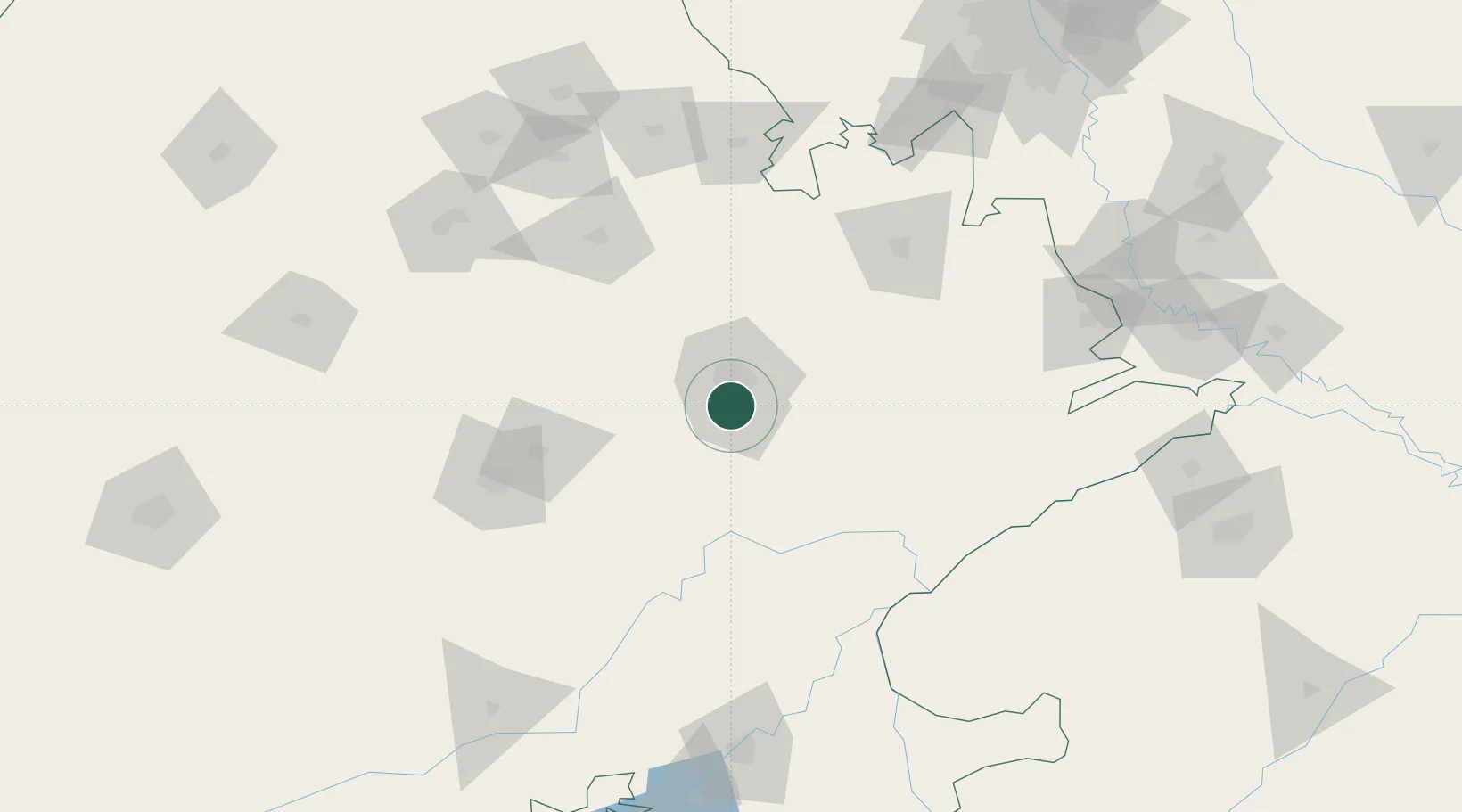
Nearby Logistics Neighbours

Cities
  1. 1Jaipur15 km
  2. 2Tonk72 km
  3. 3Borawar111 km
  4. 4Alwar116 km
  5. 5Riico SEZ-I/Sitapura122 km
Nearest neighbours — logibook spatial index (haversine) over the source coordinates
Ports
  1. 1Dahej657 km
  2. 2Bhavnagar667 km
  3. 3Navlakhi688 km
  4. 4Kandla701 km
  5. 5Magdalla701 km
Nearest neighbours — logibook spatial index (haversine) over the source coordinates
Airports
  1. 1Jaipur International Airport3 km
  2. 2Kishangarh Airport Ajmer100 km
  3. 3Kota Airport184 km
  4. 4Agra Airport / Agra Air Force Station219 km
  5. 5Indira Gandhi International Airport233 km
Nearest neighbours — logibook spatial index (haversine) over the source coordinates
Trade Zones
  1. 1Jaipur Special Economic Zone14 km
  2. 2Mahindra Special Economic Zone14 km
  3. 3Mahindra World City (Jaipur) Ltd.14 km
  4. 4Anant Raj Industries Ltd. , IT Park Manesar205 km
  5. 5M s. Orient Craft Infrastructure Limited217 km
Nearest neighbours — logibook spatial index (haversine) over the source coordinates
DatabookThe Record of Consolidated Knowledge
India beyond logistics?
Browse databook

All Sources

LocationsUN/LOCODE
UN/LOCODE — free
Portsthe NGA World Port Index
Public domain (US gov)
AirportsOurAirports
Public domain
Trade Zonesthe World Bank SEZ database
CC BY 4.0
Trade ZonesOpen Zone Map
CC BY
← India locations