Diversified Zone · India

Mahindra Special Economic Zone Active
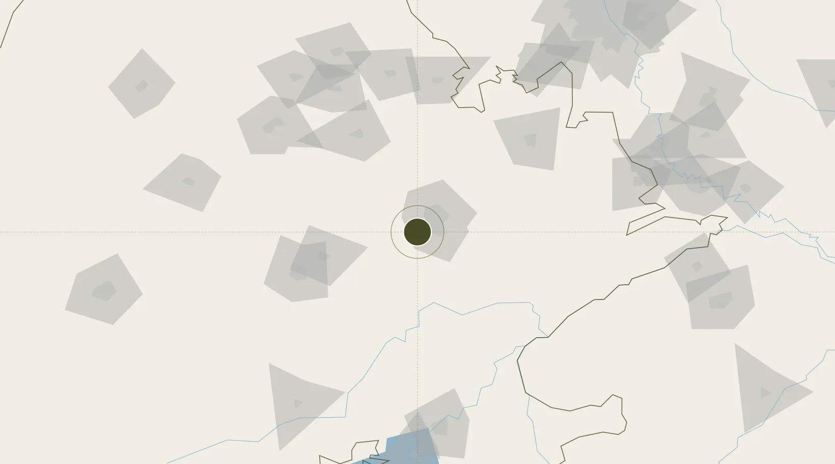
26.8060°, 75.6445°
153 ha
Zone area
649.4 km
Nearest port
16.8 km
Nearest airport

Gateway access

Nearest neighbours — logibook spatial index (haversine) over the source coordinates

Zone profile

Zone type
Diversified Zone
Open Zone Map
Region
Rajasthan
Open Zone Map
Status
Active
Open Zone Map
Management
Public-Private Partnership
Open Zone Map
Operator
Mahindra Group/Rajasthan State Industrial Development and Investment Corporation
Open Zone Map
Legal framework
Rajasthan Special Economic Zones Development Act, 2003
Open Zone Map

Location

Location of ozm-2112
Natural Earth 10m (public domain) · Rajasthan · ozm-2112 · 26.81, 75.64GoogleOSMYandex

Nearby Logistics Neighbours

Ports
  1. 1Dahej649 km
  2. 2Bhavnagar658 km
  3. 3Navlakhi677 km
  4. 4Kandla690 km
  5. 5Magdalla694 km
Nearest neighbours — logibook spatial index (haversine) over the source coordinates
Airports
  1. 1Jaipur International Airport17 km
  2. 2Kishangarh Airport Ajmer86 km
  3. 3Kota Airport184 km
  4. 4Agra Airport / Agra Air Force Station233 km
  5. 5Indira Gandhi International Airport241 km
Nearest neighbours — logibook spatial index (haversine) over the source coordinates
Cities
  1. 1Jaipur12 km
  2. 2Sanganer14 km
  3. 3Tonk73 km
  4. 4Borawar98 km
  5. 5Riico SEZ-I/Sitapura119 km
Nearest neighbours — logibook spatial index (haversine) over the source coordinates
Trade Zones
  1. 1Jaipur Special Economic Zone0 km
  2. 2Mahindra World City (Jaipur) Ltd.0 km
  3. 3Anant Raj Industries Ltd. , IT Park Manesar214 km
  4. 4M s. Orient Craft Infrastructure Limited226 km
  5. 5G.P.Realtors Private Limited230 km
Nearest neighbours — logibook spatial index (haversine) over the source coordinates
DatabookThe Record of Consolidated Knowledge
India beyond logistics?
Browse databook

All Sources

Trade ZonesOpen Zone Map
CC BY
Portsthe NGA World Port Index
Public domain (US gov)
AirportsOurAirports
Public domain
LocationsUN/LOCODE
UN/LOCODE — free
← India trade zones