UN/LOCODE hub · India
INJPI

Riico SEZ-I/Sitapura

25.7333°, 75.6000°
1
Transport functions

Transport Functions

Multimodal
UN/LOCODE

Hub Profile

Region
RJ
GeoNames

Location

Location of INJPI
Natural Earth 10m (public domain) · RJ · INJPI · 25.73, 75.60GoogleOSMYandex

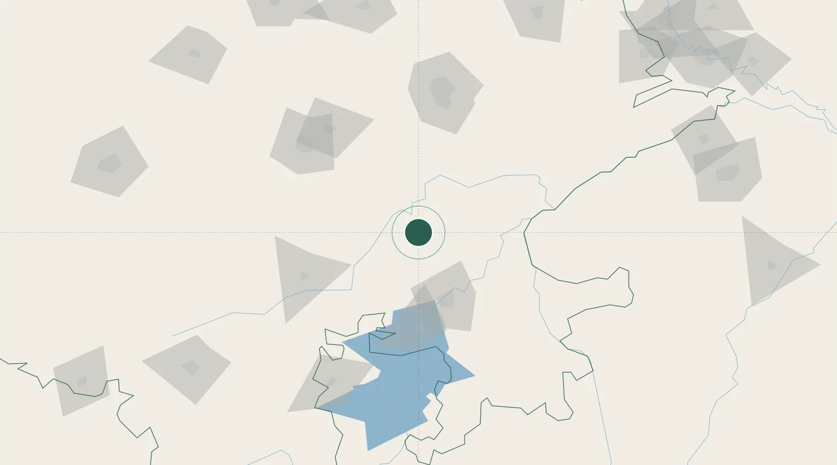
Nearby Logistics Neighbours

Cities
  1. 1Jaipur-Sitapura51 km
  2. 2Tonk52 km
  3. 3Kota63 km
  4. 4Bhilwara79 km
  5. 5Sanganer122 km
Nearest neighbours — logibook spatial index (haversine) over the source coordinates
Ports
  1. 1Dahej546 km
  2. 2Bhavnagar559 km
  3. 3Magdalla587 km
  4. 4Hazira599 km
  5. 5Navlakhi606 km
Nearest neighbours — logibook spatial index (haversine) over the source coordinates
Airports
  1. 1Kota Airport68 km
  2. 2Jaipur International Airport123 km
  3. 3Kishangarh Airport Ajmer124 km
  4. 4Maharana Pratap Airport212 km
  5. 5Jodhpur Airport261 km
Nearest neighbours — logibook spatial index (haversine) over the source coordinates
Trade Zones
  1. 1Jaipur Special Economic Zone119 km
  2. 2Mahindra Special Economic Zone119 km
  3. 3Mahindra World City (Jaipur) Ltd.119 km
  4. 4Parsvnath City324 km
  5. 5Impetus Infotech (India) Private Limited336 km
Nearest neighbours — logibook spatial index (haversine) over the source coordinates
DatabookThe Record of Consolidated Knowledge
India beyond logistics?
Browse databook

All Sources

LocationsUN/LOCODE
UN/LOCODE — free
Portsthe NGA World Port Index
Public domain (US gov)
AirportsOurAirports
Public domain
Trade Zonesthe World Bank SEZ database
CC BY 4.0
Trade ZonesOpen Zone Map
CC BY
← India locations