UN/LOCODE hub · India
INJAI

Jaipur

26.9106°, 75.6784°
3,046,163
Population
4
Transport functions

Transport Functions

Rail
Road
Airport
Multimodal
UN/LOCODE

Hub Profile

Place type
Regional capital
GeoNames
Region
Rajasthan
GeoNames
Population
3,046,163
GeoNames
Time zone
Asia/Kolkata
GeoNames
Elevation
435 m
GeoNames
Logistics facilities
16
UN/LOCODE

Location

Location of INJAI
Natural Earth 10m (public domain) · Rajasthan · INJAI · 26.91, 75.68GoogleOSMYandex

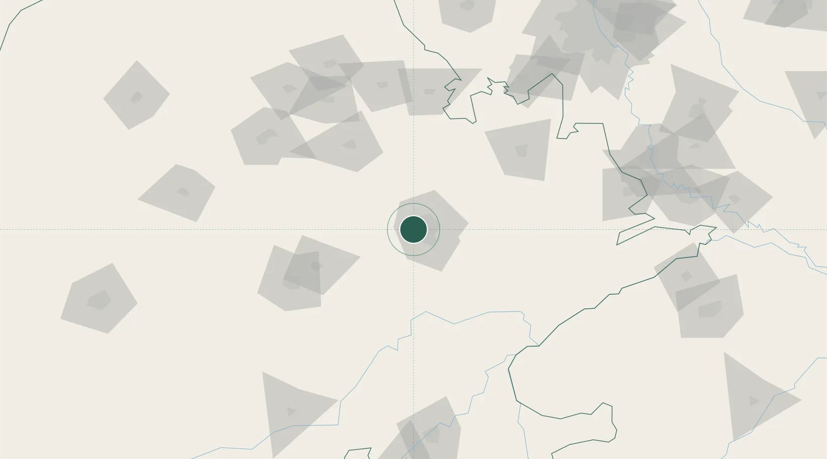
Nearby Logistics Neighbours

Cities
  1. 1Sanganer15 km
  2. 2Tonk84 km
  3. 3Borawar99 km
  4. 4Alwar117 km
  5. 5Riico SEZ-I/Sitapura131 km
Nearest neighbours — logibook spatial index (haversine) over the source coordinates
Ports
  1. 1Dahej661 km
  2. 2Bhavnagar670 km
  3. 3Navlakhi687 km
  4. 4Kandla699 km
  5. 5Magdalla706 km
Nearest neighbours — logibook spatial index (haversine) over the source coordinates
Airports
  1. 1Jaipur International Airport16 km
  2. 2Kishangarh Airport Ajmer93 km
  3. 3Kota Airport195 km
  4. 4Agra Airport / Agra Air Force Station228 km
  5. 5Indira Gandhi International Airport230 km
Nearest neighbours — logibook spatial index (haversine) over the source coordinates
Trade Zones
  1. 1Jaipur Special Economic Zone12 km
  2. 2Mahindra Special Economic Zone12 km
  3. 3Mahindra World City (Jaipur) Ltd.12 km
  4. 4Anant Raj Industries Ltd. , IT Park Manesar203 km
  5. 5M s. Orient Craft Infrastructure Limited214 km
Nearest neighbours — logibook spatial index (haversine) over the source coordinates
DatabookThe Record of Consolidated Knowledge
India beyond logistics?
Browse databook

All Sources

LocationsUN/LOCODE
UN/LOCODE — free
LocationsGeoNames
CC BY 4.0
Portsthe NGA World Port Index
Public domain (US gov)
AirportsOurAirports
Public domain
Trade Zonesthe World Bank SEZ database
CC BY 4.0
Trade ZonesOpen Zone Map
CC BY
← India locations