Transport Functions
Multimodal
Hub Profile
Place type
Populated place
Region
Rajasthan
Population
24,975
Time zone
Asia/Kolkata
Elevation
413 m
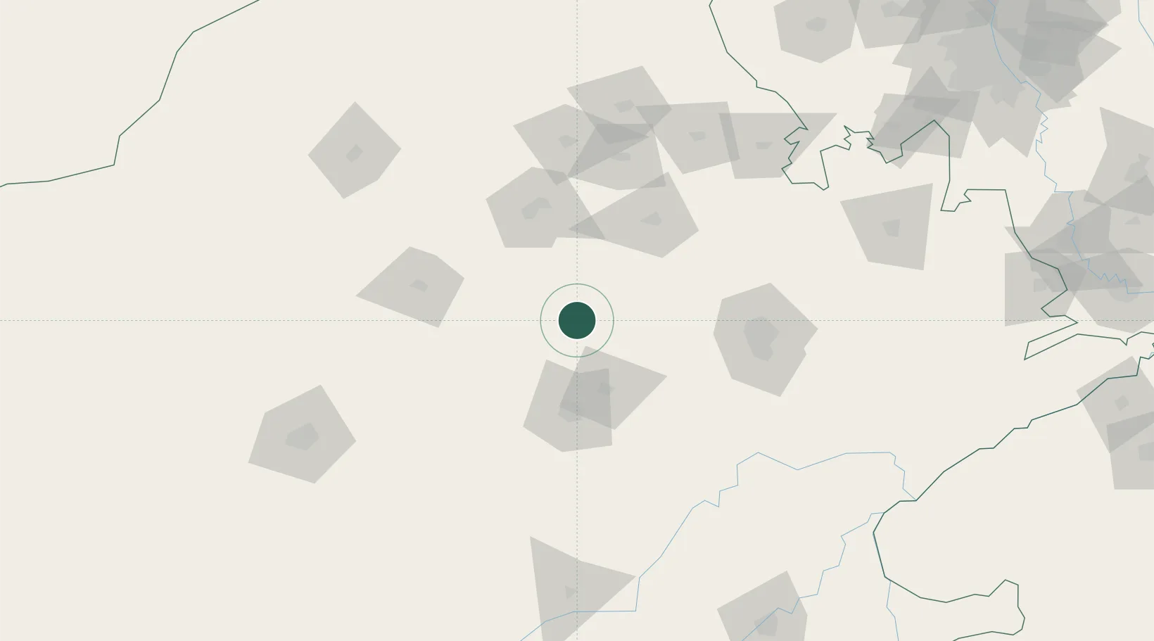
Location
Nearby Logistics Neighbours
Cities
- 1Jaipur99 km
- 2Sanganer111 km
- 3Tonk146 km
- 4Riico SEZ-I/Sitapura169 km
- 5Boranada, Jodhpur172 km
Airports
- 1Kishangarh Airport Ajmer49 km
- 2Jaipur International Airport114 km
- 3Jodhpur Airport183 km
- 4Nal Airport187 km
- 5Kota Airport237 km
DatabookThe Record of Consolidated Knowledge
India beyond logistics?