Transport Functions
Road
Multimodal
Hub Profile
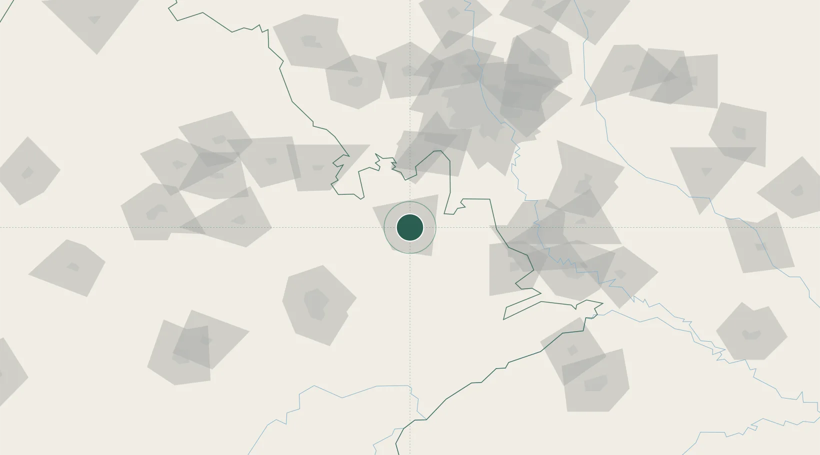
Place type
Populated place
Region
Rajasthan
Population
322,568
Time zone
Asia/Kolkata
Elevation
269 m
Location
Nearby Logistics Neighbours
Cities
- 1Neemrana51 km
- 2Kathuwas Icd/Alwar67 km
- 3Rewari67 km
- 4KRIL ICD/Pali69 km
- 5Garhi Harsaru100 km
Airports
DatabookThe Record of Consolidated Knowledge
India beyond logistics?