Medium airport · India

Agra Airport / Agra Air Force StationVIAG
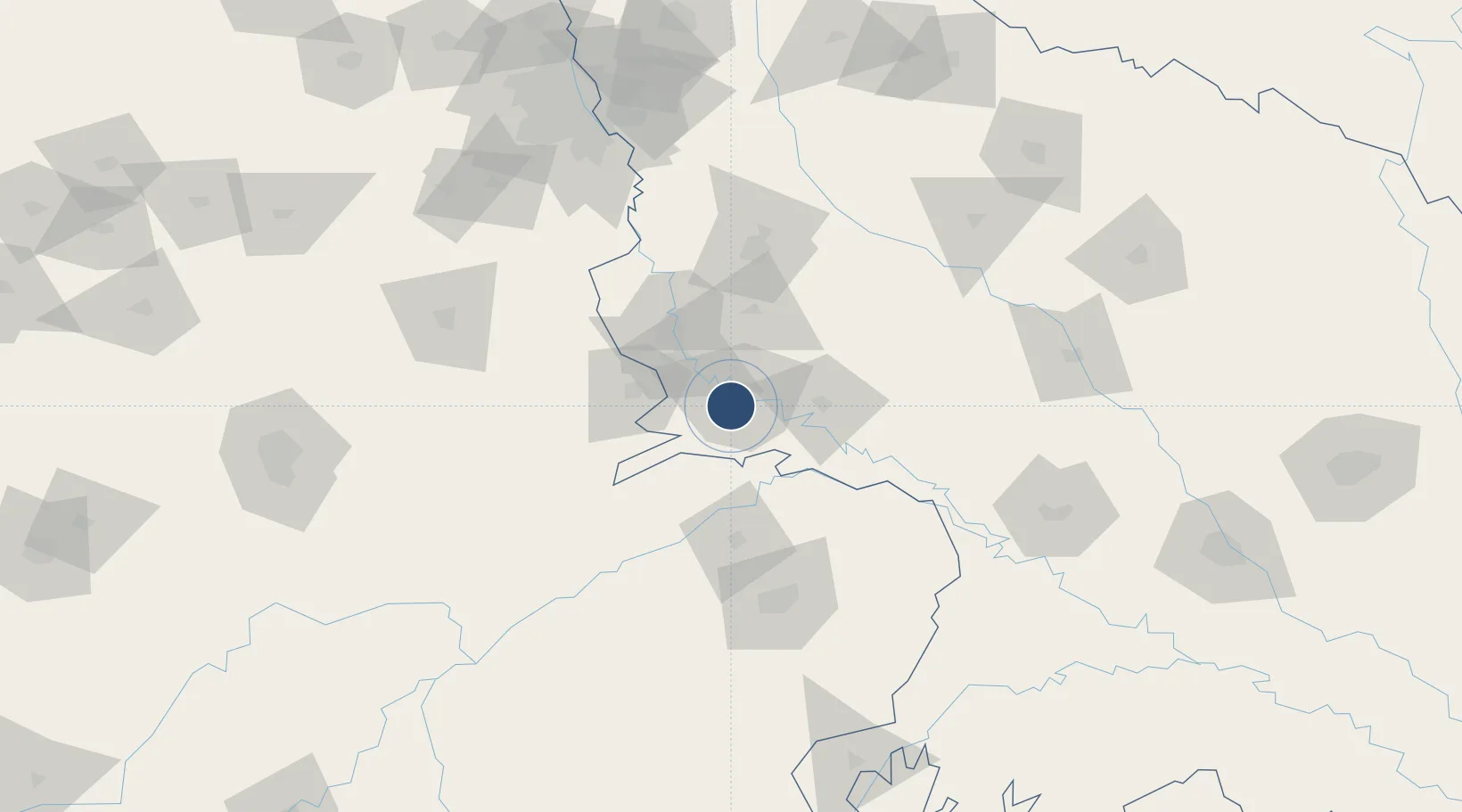
27.1580°, 77.9610°
9,000 ft
Longest runway
2
Runways
551 ft
Elevation

Runway & Layout

Agra Airport / Agra Air Force Station runway & taxiway layout
Runway & taxiway layout — OpenStreetMap (ODbL) / OurAirports

Radio Frequencies

TWR
131.4 MHz
APP
122.3 MHz
OurAirports

Navaids

AG NDB Agra 250 kHz
AGG VOR-DME Agra 112.00 MHz
OurAirports

Runways · 2

RunwayDimensions SurfaceTrue headingLit
05/23 9,000 × 148ft Concrete 046°
12/30 5,964 × 148ft Concrete 116°
OurAirports

Airport Specifications

IATA code
AGR
OurAirports
ICAO code
VIAG
OurAirports
Airport class
Medium airport
OurAirports
Scheduled service
Yes
OurAirports
Runway surface
Concrete
OurAirports
Served city
Agra
OurAirports

Location

Location of VIAG
Natural Earth 10m (public domain) · Uttar Pradesh · VIAG · 27.16, 77.96GoogleOSMYandex

Nearby Logistics Neighbours

Airports
  1. 1Aligarh Airport80 km
  2. 2Gwalior Airport100 km
  3. 3Noida International Airport119 km
  4. 4Safdarjung Airport175 km
  5. 5Indira Gandhi International Airport177 km
Nearest neighbours — logibook spatial index (haversine) over the source coordinates
Cities
  1. 1Agra9 km
  2. 2Malanpur91 km
  3. 3Gwalior107 km
  4. 4Hindaun ICD/Karauli119 km
  5. 5Ibrahimpur Icd/Khurja124 km
Nearest neighbours — logibook spatial index (haversine) over the source coordinates
Ports
  1. 1Dahej819 km
  2. 2Bhavnagar834 km
  3. 3Magdalla852 km
  4. 4Hazira865 km
  5. 5Navlakhi889 km
Nearest neighbours — logibook spatial index (haversine) over the source coordinates
Trade Zones
  1. 1Moser Baer SEZ, Greater Noida157 km
  2. 2Vedanta Aluminium Limited157 km
  3. 3TCS Noida159 km
  4. 4G.P.Realtors Private Limited162 km
  5. 5Asf Insignia SEZ Pvt. Ltd. (Formerly Known As Canton Buildwell Pvt. Ltd.)163 km
Nearest neighbours — logibook spatial index (haversine) over the source coordinates
DatabookThe Record of Consolidated Knowledge
India beyond logistics?
Browse databook

All Sources

AirportsOurAirports
Public domain
Portsthe NGA World Port Index
Public domain (US gov)
LocationsUN/LOCODE
UN/LOCODE — free
Trade Zonesthe World Bank SEZ database
CC BY 4.0
Trade ZonesOpen Zone Map
CC BY
InfrastructureOpenStreetMap
ODbL 1.0
← India airports