Transport Functions
Road
Multimodal
Hub Profile
Place type
Populated place
Region
Rajasthan
Population
165,294
Time zone
Asia/Kolkata
Elevation
278 m
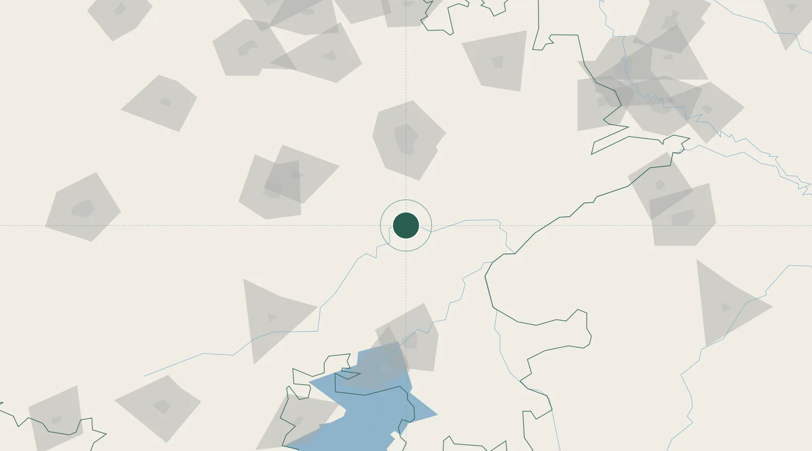
Location
Nearby Logistics Neighbours
Cities
- 1Riico SEZ-I/Sitapura52 km
- 2Sanganer72 km
- 3Jaipur84 km
- 4Jaipur-Sitapura99 km
- 5Kota105 km
Airports
- 1Jaipur International Airport73 km
- 2Kishangarh Airport Ajmer109 km
- 3Kota Airport112 km
- 4Agra Airport / Agra Air Force Station241 km
- 5Gwalior Airport243 km
DatabookThe Record of Consolidated Knowledge
India beyond logistics?