UN/LOCODE hub · India
INKHO

Khodiyar

23.0500°, 72.9333°
2
Transport functions

Transport Functions

Port
Multimodal
UN/LOCODE

Hub Profile

Region
GJ
GeoNames

Location

Location of INKHO
Natural Earth 10m (public domain) · GJ · INKHO · 23.05, 72.93GoogleOSMYandex

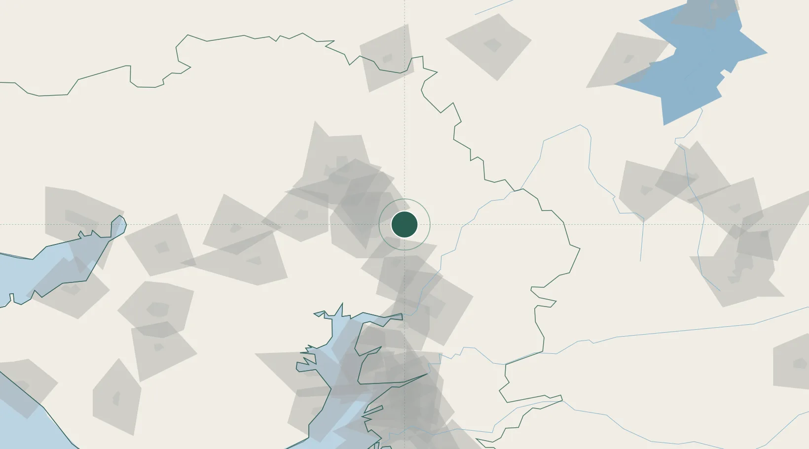
Nearby Logistics Neighbours

Cities
  1. 1Sabarmati28 km
  2. 2Gandhinagar32 km
  3. 3Gidc-SEZ/Gandhinagar32 km
  4. 4Srehpl-SEZ/Gandhinagar32 km
  5. 5TCS-SEZ/Gandhinagar32 km
Nearest neighbours — logibook spatial index (haversine) over the source coordinates
Ports
  1. 1Dahej156 km
  2. 2Bhavnagar160 km
  3. 3Magdalla212 km
  4. 4Hazira221 km
  5. 5Navlakhi255 km
Nearest neighbours — logibook spatial index (haversine) over the source coordinates
Airports
  1. 1Sardar Vallabh Patel International Airport31 km
  2. 2Vadodara International Airport85 km
  3. 3Bhavnagar Airport164 km
  4. 4Maharana Pratap Airport200 km
  5. 5Rajkot International Airport208 km
Nearest neighbours — logibook spatial index (haversine) over the source coordinates
Trade Zones
  1. 1Gift Multi Service SEZ28 km
  2. 2Aqualine Properties Pvt. Ltd. Gandhinagar.30 km
  3. 3GiDC Apparel Park Ahmedabad33 km
  4. 4Tata Consultancy Services Ltd, Gandhinagar.35 km
  5. 5Suzlon Infrastructure Ltd.38 km
Nearest neighbours — logibook spatial index (haversine) over the source coordinates
DatabookThe Record of Consolidated Knowledge
India beyond logistics?
Browse databook

All Sources

LocationsUN/LOCODE
UN/LOCODE — free
Portsthe NGA World Port Index
Public domain (US gov)
AirportsOurAirports
Public domain
Trade Zonesthe World Bank SEZ database
CC BY 4.0
Trade ZonesOpen Zone Map
CC BY
← India locations