Special Economic Zone · India

Mahindra City Special Economic Zone
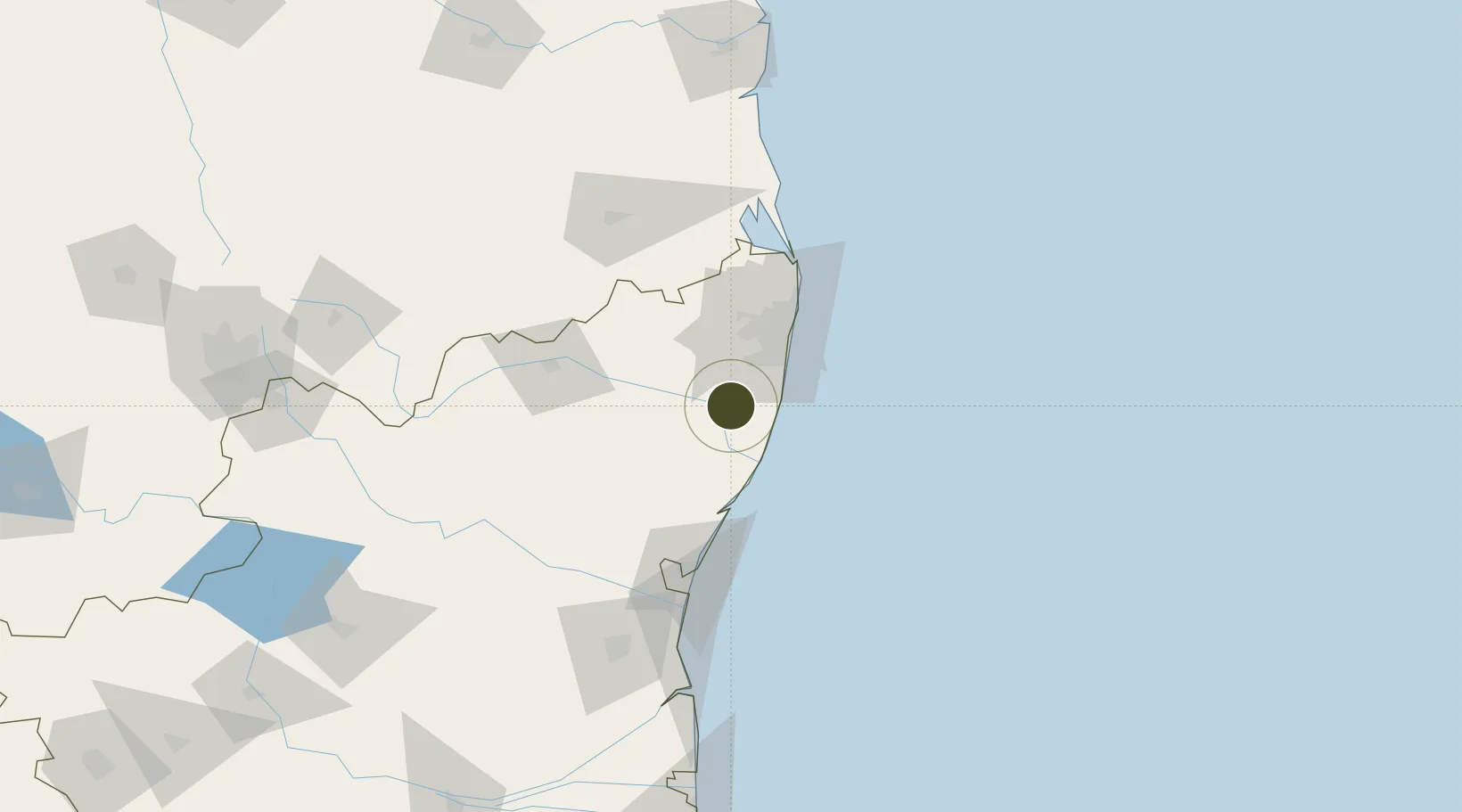
12.7339°, 80.0111°
250 ha
Zone area
51.4 km
Nearest port
33.2 km
Nearest airport

Gateway access

Nearest neighbours — logibook spatial index (haversine) over the source coordinates

Zone profile

Zone type
Special Economic Zone
the World Bank SEZ database
Region
Tamil Nadu
the World Bank SEZ database
Established
2005
the World Bank SEZ database
Management
PPP
the World Bank SEZ database
Operator
Mahindra Group and Tamil Nadu Industrial Development Corporation Ltd (TIDCO)
the World Bank SEZ database
Regulatory authority
Board of Approval (BOA)
the World Bank SEZ database
Legal framework
Special Economic Zones Act
the World Bank SEZ database

Location

Location of IND198
Natural Earth 10m (public domain) · Tamil Nadu · IND198 · 12.73, 80.01GoogleOSMYandex

Fiscal & incentives

Corporate tax
30%
the World Bank SEZ database
Tax relief
100% exempt
the World Bank SEZ database
Relief duration
5 years
the World Bank SEZ database
VAT
100% exempt from sales tax (central and state)
the World Bank SEZ database
Import duty (inputs)
100% exempt
the World Bank SEZ database
Import duty (capex)
100% exempt
the World Bank SEZ database
Profit repatriation
No exemption
the World Bank SEZ database
Capital gains
No exemption
the World Bank SEZ database
Withholding tax
No exemption
the World Bank SEZ database
Min. investment
None
the World Bank SEZ database
Min. export
>0%
the World Bank SEZ database
Employment incentive
No exemption
the World Bank SEZ database
Developer incentive
Yes
the World Bank SEZ database

Nearby Logistics Neighbours

Ports
  1. 1Chennai (Madras)51 km
  2. 2Kamarajar Port69 km
  3. 3Pondicherry91 km
  4. 4Cuddalore116 km
  5. 5Kattupalli Port169 km
Nearest neighbours — logibook spatial index (haversine) over the source coordinates
Airports
  1. 1Chennai International Airport33 km
  2. 2Pondicherry Airport88 km
  3. 3Tirupati International Airport112 km
  4. 4Salem Airport236 km
  5. 5Kadapa Airport239 km
Nearest neighbours — logibook spatial index (haversine) over the source coordinates
Cities
  1. 1MWCDL-Apparels-SEZ/Chengalpattu5 km
  2. 2MWCDL-IT-SEZ/Chengalpattu5 km
  3. 3MWCDL-Auto-Ancillaries-SEZ/Chengalpattu5 km
  4. 4Attur7 km
  5. 5Snpip Sez/Tambaram23 km
Nearest neighbours — logibook spatial index (haversine) over the source coordinates
DatabookThe Record of Consolidated Knowledge
India beyond logistics?
Browse databook

All Sources

Trade Zonesthe World Bank SEZ database
CC BY 4.0
Portsthe NGA World Port Index
Public domain (US gov)
AirportsOurAirports
Public domain
LocationsUN/LOCODE
UN/LOCODE — free
← India trade zones