Transport Functions
Multimodal
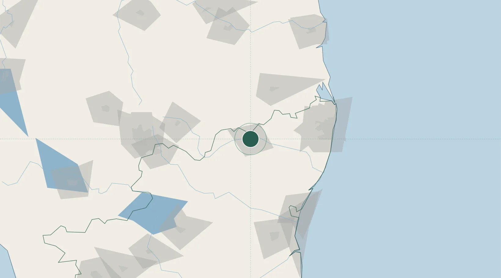
Hub Profile
Region
TN
Location
Nearby Logistics Neighbours
Cities
- 1SIPC SEZ/Vellore0 km
- 2Chittoor30 km
- 3Cclpil Sez/Visakhapatnam33 km
- 4FIPL SEZ/Kancheepuram64 km
- 5ETA SEZ/Kancheepuram64 km
Ports
- 1Chennai (Madras)128 km
- 2Pondicherry135 km
- 3Kamarajar Port136 km
- 4Cuddalore152 km
- 5Kattupalli Port182 km
Airports
- 1Tirupati International Airport89 km
- 2Chennai International Airport112 km
- 3Pondicherry Airport130 km
- 4Kempegowda International Airport Bengaluru157 km
- 5HAL Airport159 km
Trade Zones
- 1Flextronics Technologies (India) Private Limited84 km
- 2Mahindra City Special Economic Zone98 km
- 3MEPZ Special Economic Zone107 km
- 4Sri City112 km
- 5DLF Info City113 km
DatabookThe Record of Consolidated Knowledge
India beyond logistics?