Small airport · Canada
Norway House AirportCYNE
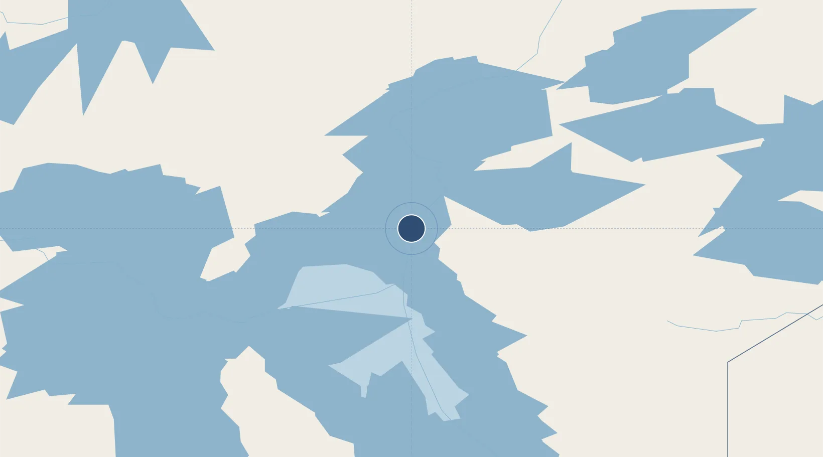
53.9583°, -97.8442°
3,902 ft
Longest runway
1
Runways
734 ft
Elevation
Runway & Layout

Navaids
NE DME Norway House 115.10 MHz
YNE NDB Norway House 207 kHz
Runways · 1
| Runway | Dimensions | Surface | True heading | Lit |
|---|---|---|---|---|
| 06/24 | 3,902 × 100ft | Gravel | 060° | — |
Airport Specifications
IATA code
YNE
ICAO code
CYNE
Airport class
Small airport
Scheduled service
Yes
Runway surface
Gravel
Served city
Norway House
Location
Nearby Logistics Neighbours
Airports
- 1Jenpeg Airport64 km
- 2Cross Lake (Charlie Sinclair Memorial) Airport73 km
- 3Thicket Portage Airport152 km
- 4Berens River Airport186 km
- 5Pikwitonei Airport187 km
Cities
- 1Ballyhahil180 km
- 2Island Lake208 km
- 3Split Lake278 km
- 4Pine River303 km
- 5Riverton336 km
Ports
- 1Churchill581 km
- 2Thunder Bay860 km
- 3Grand Marais868 km
- 4Two Harbors887 km
- 5Duluth897 km
Trade Zones
- 1Winnipegs Centreport Canada454 km
- 2Global Transportation Hub Authority611 km
- 3FTZ No. 103 Grand Forks674 km
- 4FTZ No. 259 Koochiching County678 km
- 5FTZ No. 267 Fargo792 km
DatabookThe Record of Consolidated Knowledge
Canada beyond logistics?