Transport Functions
Rail
Road
Hub Profile
Place type
Provincial seat
Region
Bratislava Region
Population
20,115
Time zone
Europe/Bratislava
Elevation
127 m
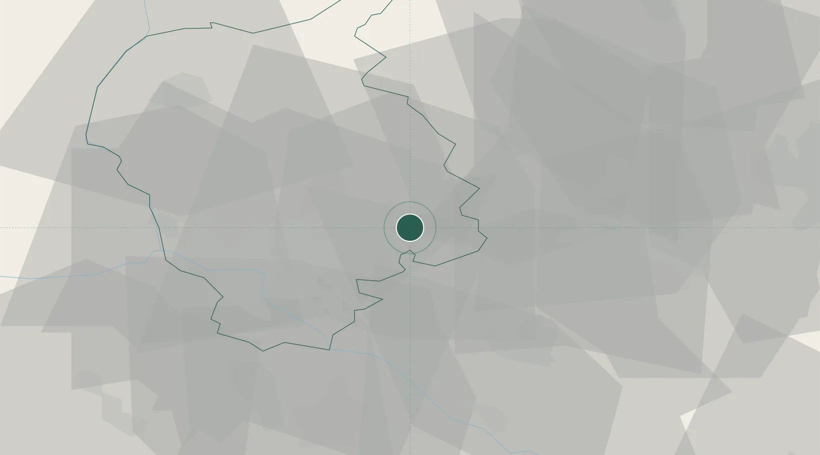
Location
Nearby Logistics Neighbours
Cities
- 1Chorvátsky Grob9 km
- 2Ivanka pri Dunaji11 km
- 3Zlate Klasy11 km
- 4Modra14 km
- 5Voderady14 km
Ports
- 1Bakar391 km
- 2Rijeka Luka392 km
- 3Trieste398 km
- 4Monfalcone398 km
- 5Omisalj398 km
Airports
- 1M. R. Štefánik Airport15 km
- 2Malacky/Kuchyňa Air Base29 km
- 3Piešťany Airport55 km
- 4Vienna International Airport63 km
- 5Győr-Pér Airport72 km
Trade Zones
DatabookThe Record of Consolidated Knowledge
Slovakia beyond logistics?