Transport Functions
Rail
Road
Hub Profile
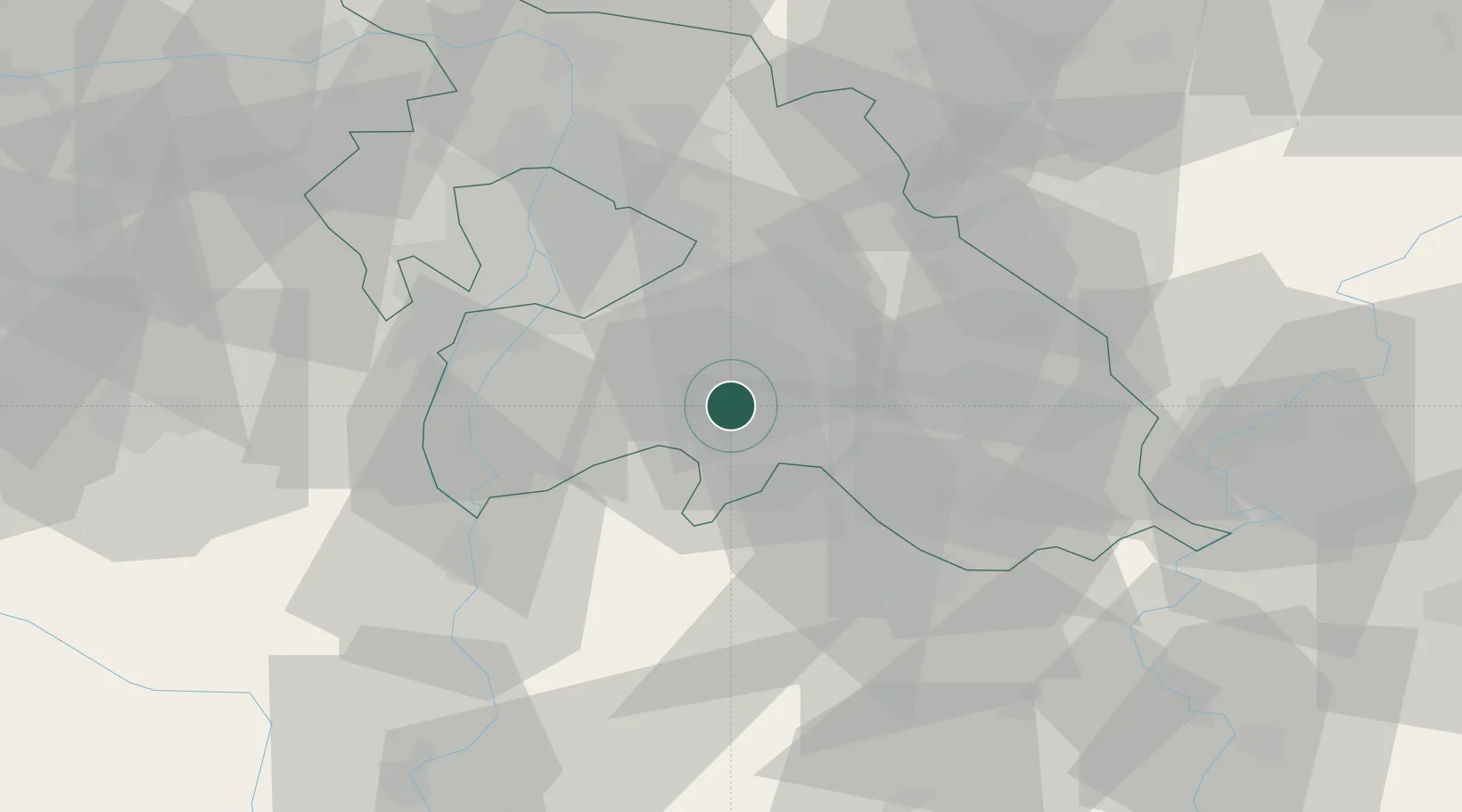
Place type
Populated place
Region
Pest County
Population
2,852
Time zone
Europe/Budapest
Elevation
113 m
Location
Nearby Logistics Neighbours
Cities
- 1Dabas6 km
- 2Csévharaszt10 km
- 3Oerkeny11 km
- 4Monor14 km
- 5Ócsa15 km
Ports
- 1Senj426 km
- 2Bakar429 km
- 3Omisalj433 km
- 4Rijeka Luka434 km
- 5Dugi Rat470 km
Airports
- 1Budapest Liszt Ferenc International Airport25 km
- 2Tököl Airport34 km
- 3Kecskemét Air Base43 km
- 4Szolnok Air Base65 km
- 5Kalocsa-Foktő Airfield81 km
Trade Zones
- 1Göd Special Economic Zone54 km
- 2Subotica Free Zone128 km
- 3Free Zone Curtici Arad174 km
- 4Apatin Free Zone174 km
- 5VGP Park Arad183 km
DatabookThe Record of Consolidated Knowledge
Hungary beyond logistics?