Transport Functions
Rail
Road
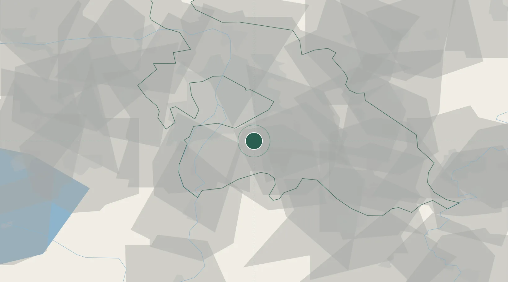
Hub Profile
Place type
Populated place
Region
Pest County
Population
9,097
Time zone
Europe/Budapest
Elevation
111 m
Location
Nearby Logistics Neighbours
Cities
- 1Felsopakony6 km
- 2Gyál10 km
- 3Bugyi11 km
- 4Dunavarsány12 km
- 5Vecsés12 km
Ports
- 1Senj422 km
- 2Bakar424 km
- 3Omisalj428 km
- 4Rijeka Luka429 km
- 5Zaliv Rasa470 km
Airports
- 1Budapest Liszt Ferenc International Airport15 km
- 2Tököl Airport20 km
- 3Kecskemét Air Base58 km
- 4Szolnok Air Base78 km
- 5Kalocsa-Foktő Airfield86 km
Trade Zones
- 1Göd Special Economic Zone43 km
- 2Subotica Free Zone139 km
- 3Apatin Free Zone181 km
- 4Free Zone Curtici Arad188 km
- 5VGP Park Arad197 km
DatabookThe Record of Consolidated Knowledge
Hungary beyond logistics?