Transport Functions
Multimodal
Hub Profile
Place type
Provincial seat
Region
Pest County
Population
16,590
Time zone
Europe/Budapest
Elevation
99 m
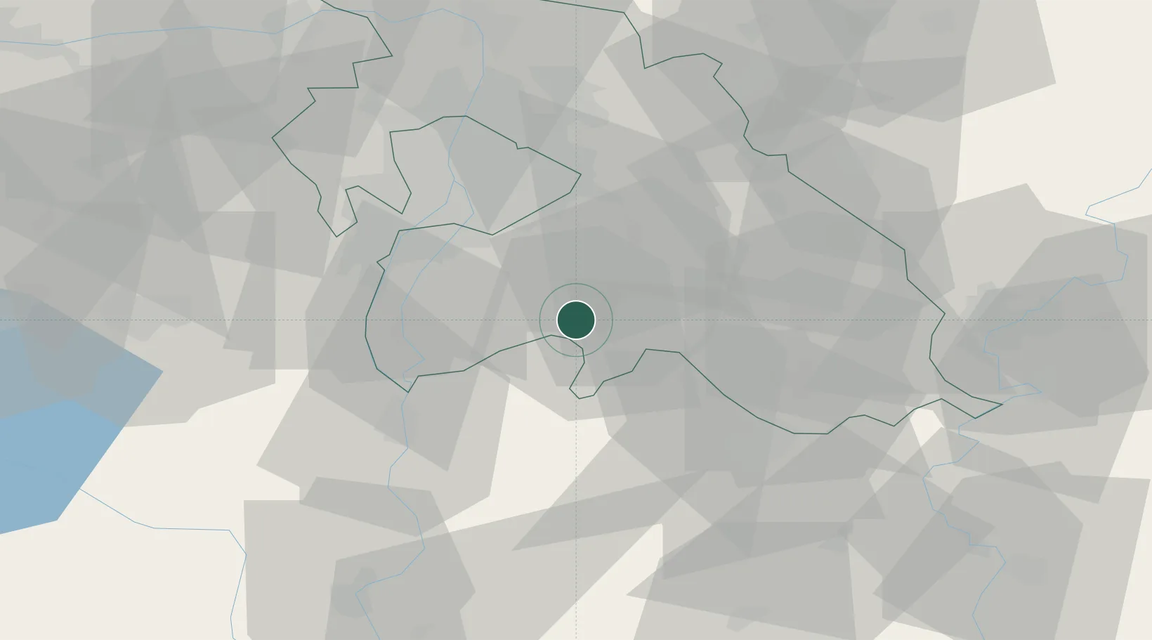
Location
Nearby Logistics Neighbours
Cities
- 1Újhartyán6 km
- 2Oerkeny11 km
- 3Bugyi13 km
- 4Ócsa14 km
- 5Csévharaszt16 km
Ports
- 1Senj419 km
- 2Bakar423 km
- 3Omisalj427 km
- 4Rijeka Luka428 km
- 5Dugi Rat465 km
Airports
- 1Budapest Liszt Ferenc International Airport28 km
- 2Tököl Airport31 km
- 3Kecskemét Air Base44 km
- 4Szolnok Air Base70 km
- 5Kalocsa-Foktő Airfield76 km
Trade Zones
- 1Göd Special Economic Zone56 km
- 2Subotica Free Zone125 km
- 3Apatin Free Zone169 km
- 4Free Zone Curtici Arad176 km
- 5VGP Park Arad184 km
DatabookThe Record of Consolidated Knowledge
Hungary beyond logistics?