Transport Functions
Multimodal
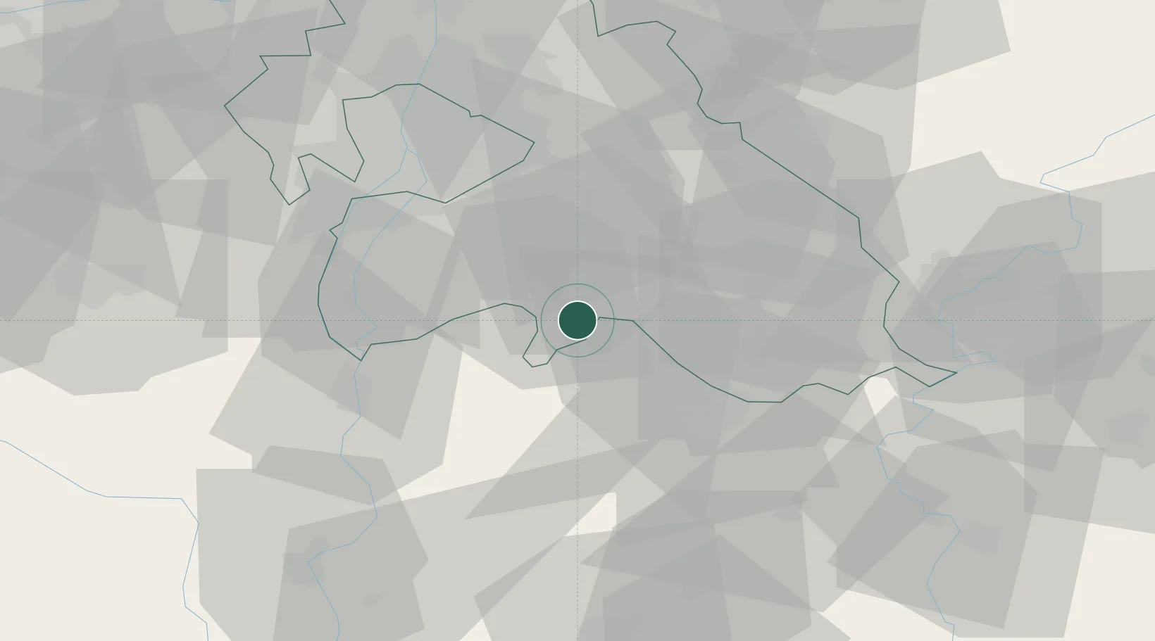
Hub Profile
Region
PE
Location
Nearby Logistics Neighbours
Cities
- 1Dabas11 km
- 2Újhartyán11 km
- 3Albertirsa19 km
- 4Csévharaszt20 km
- 5Csemo21 km
Ports
- 1Senj422 km
- 2Bakar427 km
- 3Omisalj430 km
- 4Rijeka Luka432 km
- 5Dugi Rat462 km
Airports
- 1Kecskemét Air Base34 km
- 2Budapest Liszt Ferenc International Airport37 km
- 3Tököl Airport42 km
- 4Szolnok Air Base62 km
- 5Kalocsa-Foktő Airfield73 km
Trade Zones
- 1Göd Special Economic Zone65 km
- 2Subotica Free Zone117 km
- 3Apatin Free Zone164 km
- 4Free Zone Curtici Arad166 km
- 5VGP Park Arad174 km
DatabookThe Record of Consolidated Knowledge
Hungary beyond logistics?