Transport Functions
Multimodal
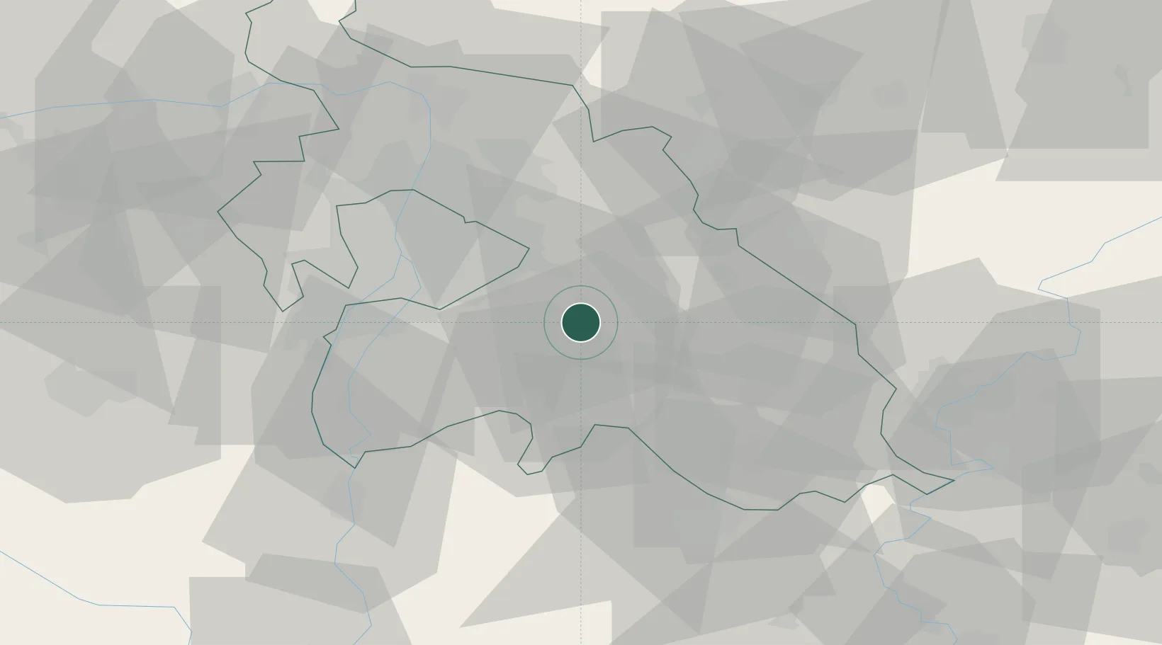
Hub Profile
Place type
Provincial seat
Region
Pest County
Population
21,720
Time zone
Europe/Budapest
Elevation
137 m
Location
Nearby Logistics Neighbours
Cities
- 1Csévharaszt4 km
- 2Üllo8 km
- 3Mende9 km
- 4Gyömrö10 km
- 5Újhartyán14 km
Ports
- 1Senj436 km
- 2Bakar439 km
- 3Omisalj443 km
- 4Rijeka Luka444 km
- 5Dugi Rat483 km
Airports
- 1Budapest Liszt Ferenc International Airport17 km
- 2Tököl Airport34 km
- 3Kecskemét Air Base52 km
- 4Szolnok Air Base65 km
- 5Kalocsa-Foktő Airfield95 km
Trade Zones
- 1Göd Special Economic Zone43 km
- 2Subotica Free Zone140 km
- 3Free Zone Curtici Arad178 km
- 4Apatin Free Zone187 km
- 5VGP Park Arad188 km
DatabookThe Record of Consolidated Knowledge
Hungary beyond logistics?