Transport Functions
Multimodal
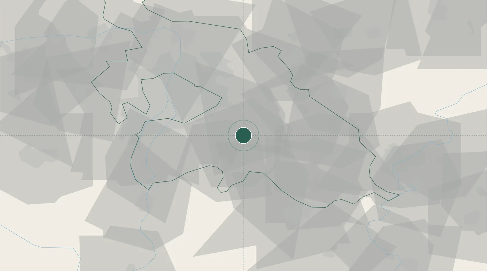
Hub Profile
Place type
Populated place
Region
Pest County
Time zone
Europe/Budapest
Elevation
130 m
Location
Nearby Logistics Neighbours
Ports
- 1Senj434 km
- 2Bakar437 km
- 3Omisalj441 km
- 4Rijeka Luka442 km
- 5Dugi Rat480 km
Airports
- 1Budapest Liszt Ferenc International Airport19 km
- 2Tököl Airport35 km
- 3Kecskemét Air Base49 km
- 4Szolnok Air Base64 km
- 5Kalocsa-Foktő Airfield91 km
Trade Zones
- 1Göd Special Economic Zone47 km
- 2Subotica Free Zone137 km
- 3Free Zone Curtici Arad176 km
- 4Apatin Free Zone184 km
- 5VGP Park Arad186 km
DatabookThe Record of Consolidated Knowledge
Hungary beyond logistics?