UN/LOCODE hub · Hungary
HUTOK
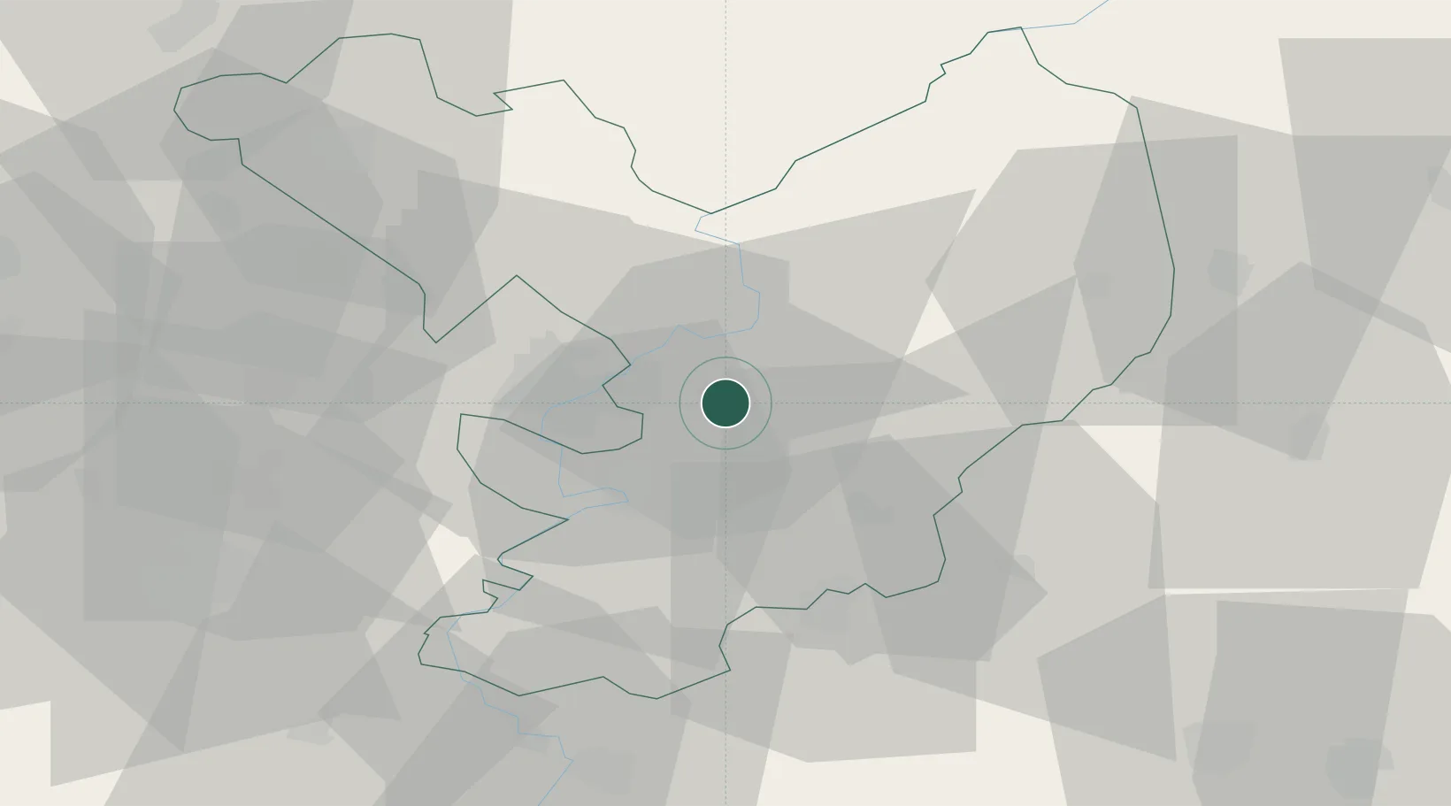
Törökszentmiklós
47.1667°, 20.4167°
22,770
Population
2
Transport functions
Transport Functions
Rail
Road
Hub Profile
Place type
Provincial seat
Region
Jász-Nagykun-Szolnok
Population
22,770
Time zone
Europe/Budapest
Elevation
82 m
Location
Nearby Logistics Neighbours
Cities
- 1Kunhegyes28 km
- 2Abony32 km
- 3Bekesszentandras34 km
- 4Szarvas35 km
- 5Tiszakécske35 km
Ports
- 1Senj490 km
- 2Bakar498 km
- 3Omisalj501 km
- 4Rijeka Luka503 km
- 5Dugi Rat507 km
Airports
- 1Szolnok Air Base15 km
- 2Kecskemét Air Base58 km
- 3Budapest Liszt Ferenc International Airport92 km
- 4Debrecen International Airport97 km
- 5Tököl Airport110 km
Trade Zones
- 1Göd Special Economic Zone110 km
- 2Free Zone Curtici Arad112 km
- 3VGP Park Arad127 km
- 4Subotica Free Zone135 km
- 5VGP Park Timisoara164 km
DatabookThe Record of Consolidated Knowledge
Hungary beyond logistics?