Transport Functions
Rail
Road
Hub Profile
Place type
Provincial seat
Region
Bekes County
Population
18,170
Time zone
Europe/Budapest
Elevation
82 m
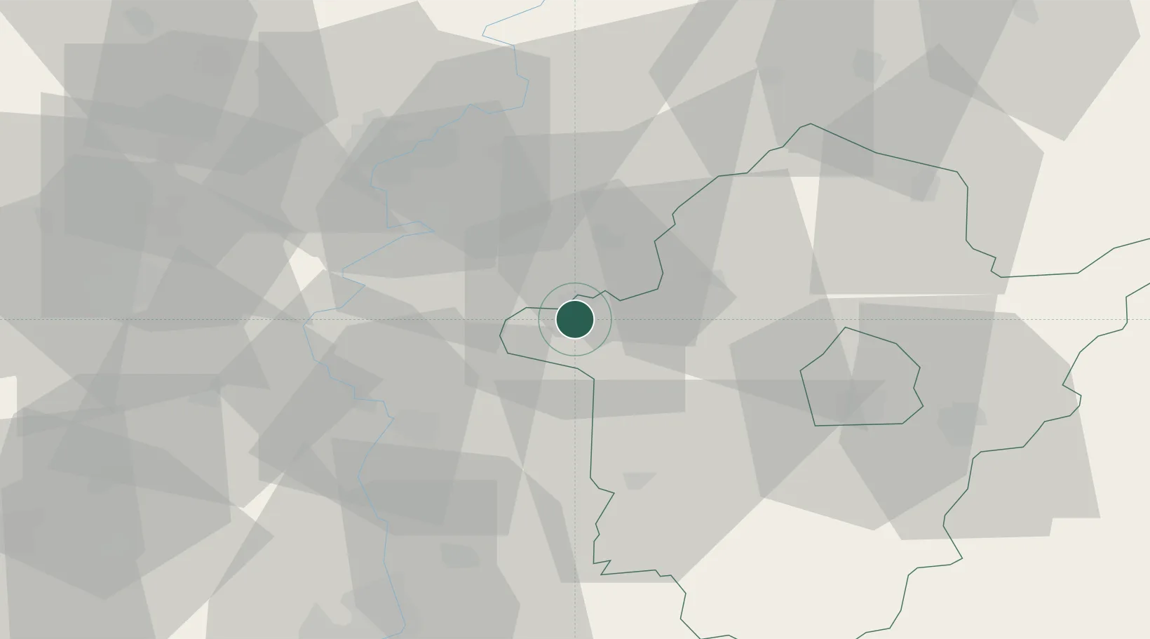
Location
Nearby Logistics Neighbours
Cities
- 1Bekesszentandras5 km
- 2Törökszentmiklós35 km
- 3Tiszakécske35 km
- 4Mezöberény36 km
- 5Devavanya37 km
Airports
- 1Szolnok Air Base37 km
- 2Kecskemét Air Base61 km
- 3Arad International Airport94 km
- 4Oradea International Airport104 km
- 5Debrecen International Airport106 km
Trade Zones
- 1Free Zone Curtici Arad80 km
- 2VGP Park Arad93 km
- 3Subotica Free Zone112 km
- 4VGP Park Timisoara129 km
- 5Göd Special Economic Zone138 km
DatabookThe Record of Consolidated Knowledge
Hungary beyond logistics?