Transport Functions
Rail
Road
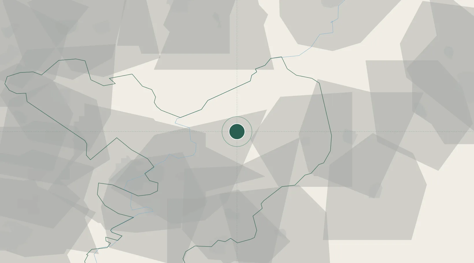
Hub Profile
Place type
Provincial seat
Region
Jász-Nagykun-Szolnok
Population
8,462
Time zone
Europe/Budapest
Elevation
88 m
Location
Nearby Logistics Neighbours
Cities
- 1Abadszalok11 km
- 2Kunmadaras13 km
- 3Karcag23 km
- 4Törökszentmiklós28 km
- 5Tiszafüred30 km
Ports
- 1Senj515 km
- 2Bakar522 km
- 3Omisalj525 km
- 4Rijeka Luka527 km
- 5Dugi Rat535 km
Airports
Trade Zones
- 1Göd Special Economic Zone115 km
- 2Free Zone Curtici Arad123 km
- 3VGP Park Arad140 km
- 4Customs Free Zone Zahony162 km
- 5Subotica Free Zone162 km
DatabookThe Record of Consolidated Knowledge
Hungary beyond logistics?