UN/LOCODE hub · Hungary
HUHAP
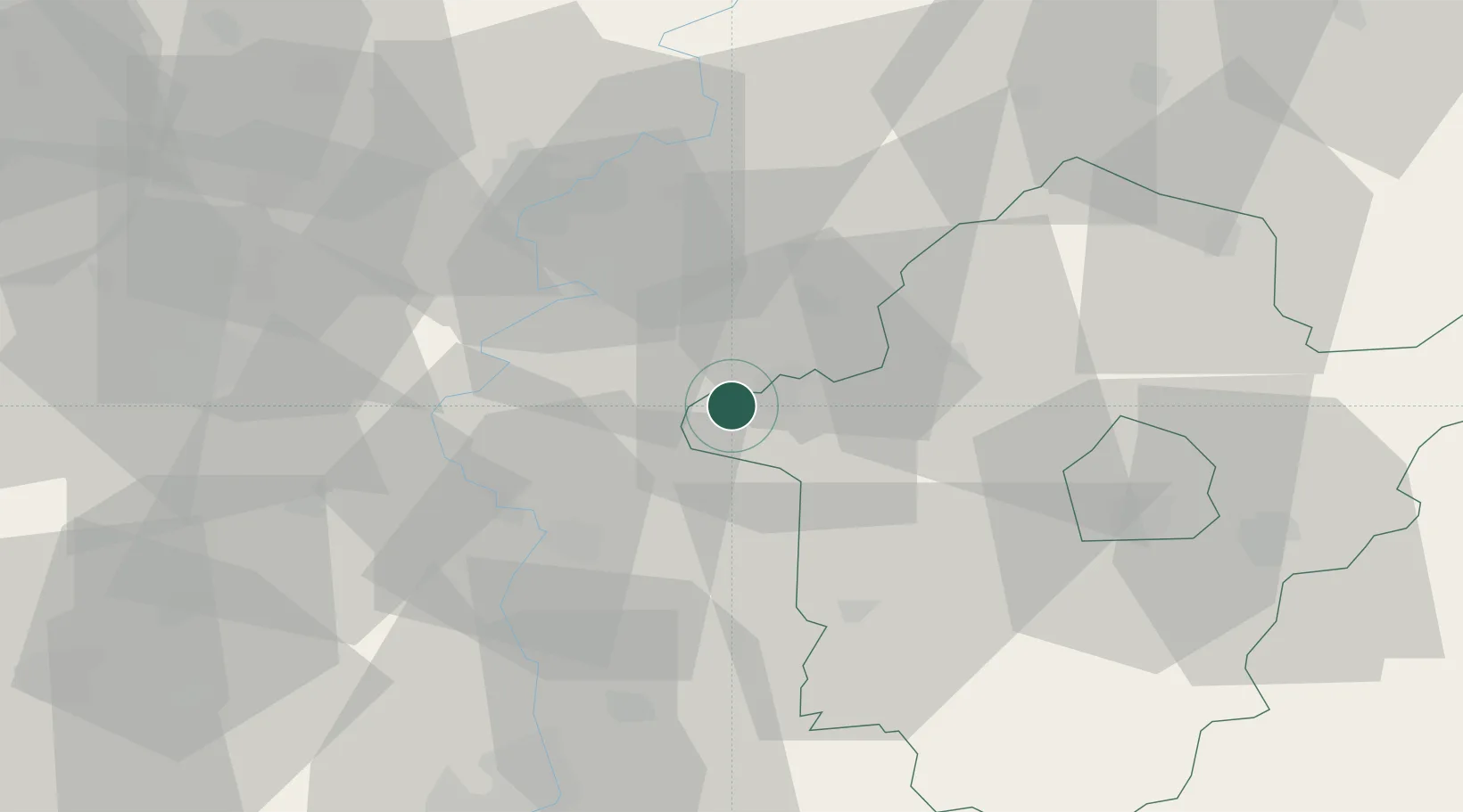
Bekesszentandras
46.8667°, 20.4833°
4,103
Population
1
Transport functions
Transport Functions
Multimodal
Hub Profile
Place type
Populated place
Region
Bekes County
Population
4,103
Time zone
Europe/Budapest
Elevation
82 m
Location
Nearby Logistics Neighbours
Cities
- 1Szarvas5 km
- 2Tiszakécske30 km
- 3Törökszentmiklós34 km
- 4Bokros37 km
- 5Mezöberény41 km
Airports
- 1Szolnok Air Base34 km
- 2Kecskemét Air Base56 km
- 3Arad International Airport97 km
- 4Oradea International Airport109 km
- 5Debrecen International Airport110 km
Trade Zones
- 1Free Zone Curtici Arad84 km
- 2VGP Park Arad96 km
- 3Subotica Free Zone109 km
- 4VGP Park Timisoara131 km
- 5Göd Special Economic Zone134 km
DatabookThe Record of Consolidated Knowledge
Hungary beyond logistics?