Transport Functions
Multimodal
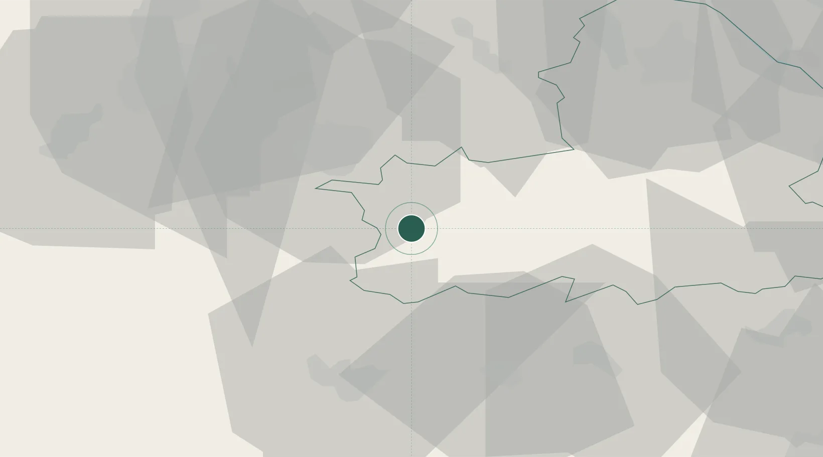
Hub Profile
Place type
Populated place
Region
Győr-Moson-Sopron
Time zone
Europe/Budapest
Elevation
195 m
Location
Nearby Logistics Neighbours
Cities
- 1Deutschkreutz10 km
- 2Zsira14 km
- 3Horitschon16 km
- 4Csepreg17 km
- 5Fertöújlak17 km
Ports
- 1Bakar302 km
- 2Rijeka Luka304 km
- 3Omisalj310 km
- 4Trieste312 km
- 5Monfalcone313 km
Airports
Trade Zones
- 1Sjever Free Zone144 km
- 2Veselí nad Moravou Industrial Zone163 km
- 3Krapina-Zagorje Free Zone169 km
- 4Černovická Terasa Industrial Zone181 km
- 5Göd Special Economic Zone182 km
DatabookThe Record of Consolidated Knowledge
Hungary beyond logistics?