Transport Functions
Rail
Road
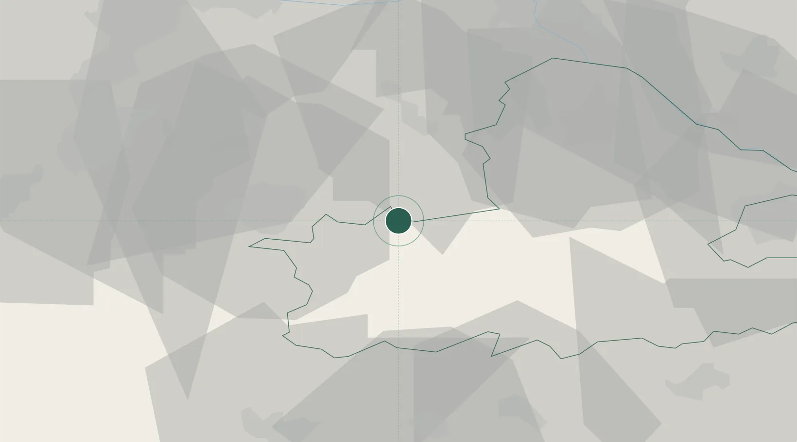
Hub Profile
Place type
Populated place
Region
Győr-Moson-Sopron
Time zone
Europe/Budapest
Elevation
115 m
Location
Nearby Logistics Neighbours
Cities
- 1Pamhagen4 km
- 2Morbisch am See17 km
- 3Sopronkovesd17 km
- 4Frauenkirchen17 km
- 5Podersdorf am See19 km
Ports
- 1Bakar320 km
- 2Rijeka Luka321 km
- 3Omisalj327 km
- 4Trieste328 km
- 5Monfalcone329 km
Airports
Trade Zones
- 1Veselí nad Moravou Industrial Zone146 km
- 2Sjever Free Zone160 km
- 3Černovická Terasa Industrial Zone166 km
- 4Göd Special Economic Zone172 km
- 5Krapina-Zagorje Free Zone186 km
DatabookThe Record of Consolidated Knowledge
Hungary beyond logistics?