Transport Functions
Rail
Road
Hub Profile
Place type
Populated place
Region
Jász-Nagykun-Szolnok
Time zone
Europe/Budapest
Elevation
111 m
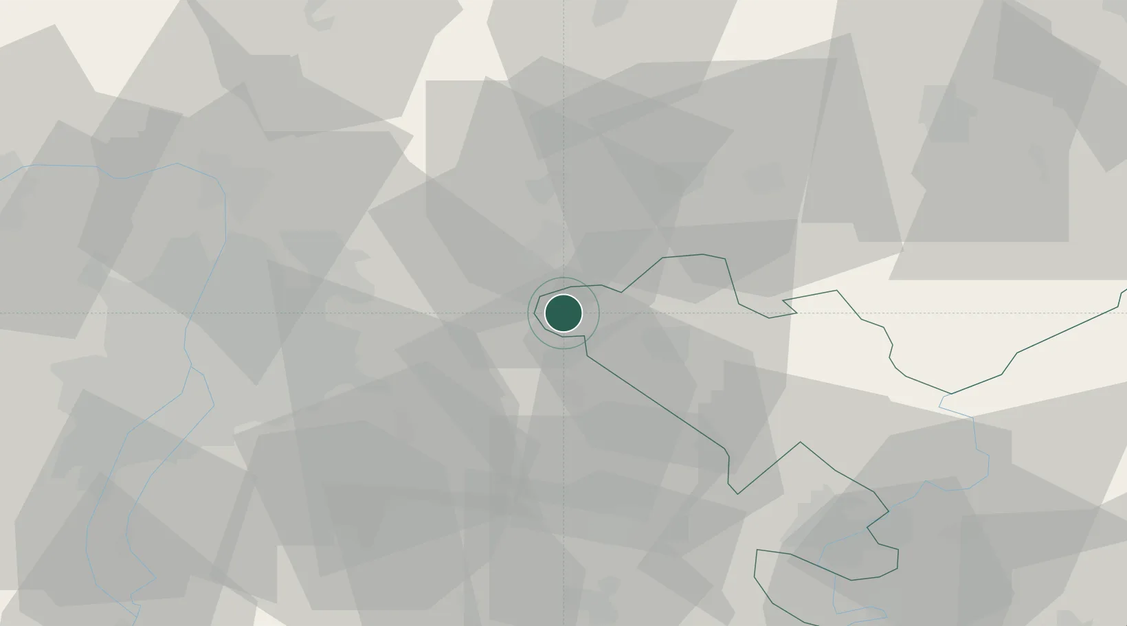
Location
Nearby Logistics Neighbours
Cities
- 1Szentlorinckáta6 km
- 2Pusztamonostor7 km
- 3Jászberény17 km
- 4Nagykata17 km
- 5Jászárokszállás20 km
Ports
- 1Senj468 km
- 2Bakar470 km
- 3Omisalj475 km
- 4Rijeka Luka475 km
- 5Zaliv Rasa516 km
Airports
- 1Budapest Liszt Ferenc International Airport37 km
- 2Tököl Airport61 km
- 3Szolnok Air Base63 km
- 4Kecskemét Air Base72 km
- 5Sliač Airport127 km
Trade Zones
- 1Göd Special Economic Zone43 km
- 2Subotica Free Zone166 km
- 3Free Zone Curtici Arad180 km
- 4VGP Park Arad193 km
- 5Apatin Free Zone218 km
DatabookThe Record of Consolidated Knowledge
Hungary beyond logistics?