Transport Functions
Multimodal
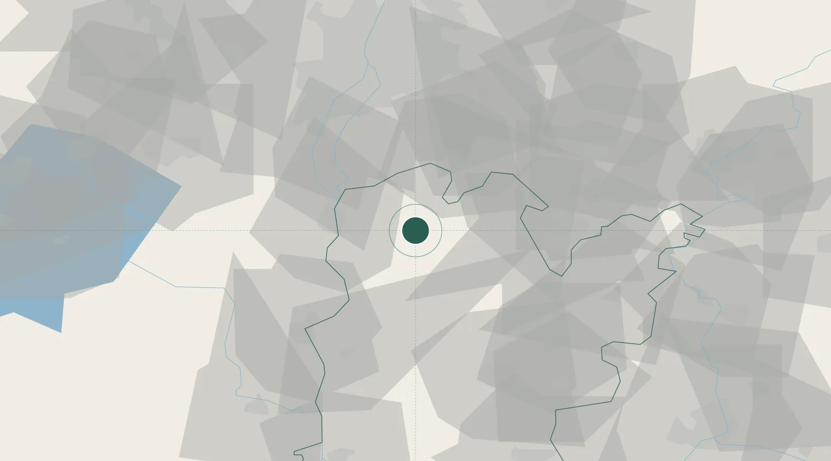
Hub Profile
Place type
Populated place
Region
Bács-Kiskun
Population
6,605
Time zone
Europe/Budapest
Elevation
97 m
Location
Nearby Logistics Neighbours
Cities
- 1Lajosmizse16 km
- 2Soskut17 km
- 3Dunavecse19 km
- 4Dunaújváros22 km
- 5Rácalmás23 km
Ports
- 1Senj398 km
- 2Bakar404 km
- 3Omisalj407 km
- 4Rijeka Luka409 km
- 5Dugi Rat436 km
Airports
- 1Kecskemét Air Base41 km
- 2Kalocsa-Foktő Airfield47 km
- 3Tököl Airport49 km
- 4Budapest Liszt Ferenc International Airport55 km
- 5Szolnok Air Base80 km
Trade Zones
- 1Göd Special Economic Zone83 km
- 2Subotica Free Zone100 km
- 3Apatin Free Zone141 km
- 4Free Zone Curtici Arad171 km
- 5VGP Park Arad176 km
DatabookThe Record of Consolidated Knowledge
Hungary beyond logistics?